Large airport · Comoros

Prince Said Ibrahim International AirportFMCH
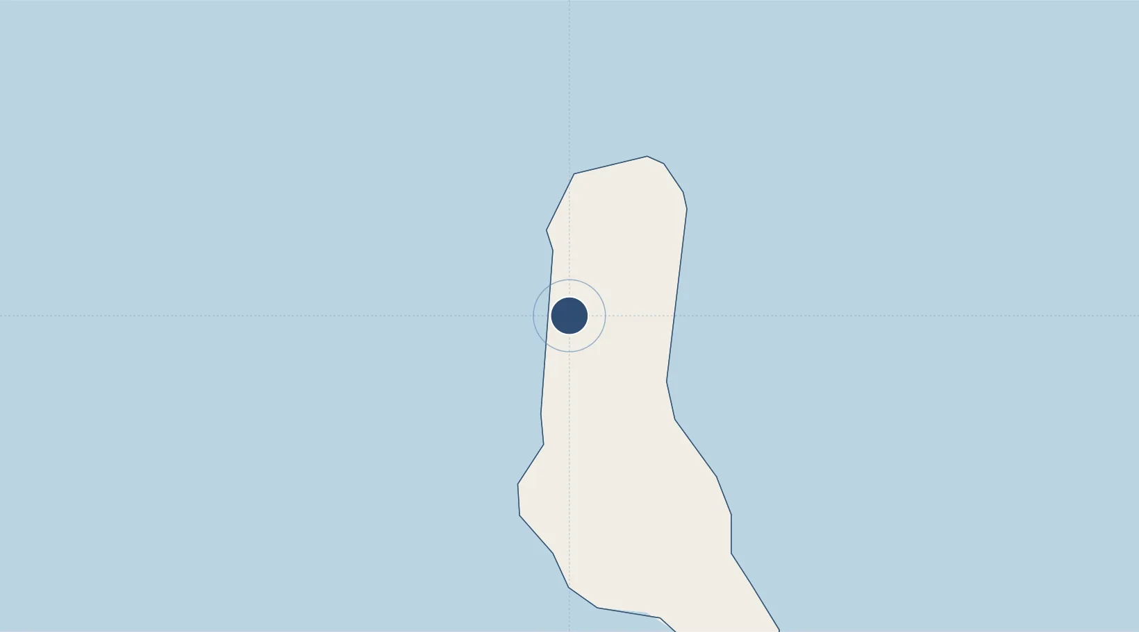
-11.5337°, 43.2719°
9,514 ft
Longest runway
1
Runways
93 ft
Elevation

Runway & Layout

Prince Said Ibrahim International Airport runway & taxiway layout
Runway & taxiway layout — OpenStreetMap (ODbL) / OurAirports

Radio Frequencies

TWR
118.1 MHz
APP
119.7 MHz
A/G
465.7 MHz
A/G VOICE RDO
OurAirports

Navaids

HAI VOR-DME Prince Said Ibrahim 114.70 MHz
OurAirports

Runways · 1

RunwayDimensions SurfaceTrue headingLit
02/20 9,514 × 148ft Asphalt 010°
OurAirports

Airport Specifications

IATA code
HAH
OurAirports
ICAO code
FMCH
OurAirports
Airport class
Large airport
OurAirports
Scheduled service
Yes
OurAirports
Runway surface
Asphalt
OurAirports
Served city
Moroni
OurAirports

Location

Location of FMCH
Natural Earth 10m (public domain) · Andjazîdja · FMCH · -11.53, 43.27GoogleOSMYandex

Nearby Logistics Neighbours

Airports
  1. 1Mohéli Bandar Es Eslam Airport101 km
  2. 2Ouani Airport143 km
  3. 3Dzaoudzi Pamandzi International Airport261 km
  4. 4Mocímboa da Praia Airport319 km
  5. 5Pemba Airport340 km
Nearest neighbours — logibook spatial index (haversine) over the source coordinates
Cities
  1. 1Mutsamudu, Anjouan139 km
  2. 2Anjouan Apt148 km
  3. 3Longoni244 km
  4. 4Kani-Kéli254 km
  5. 5Mamoudzou255 km
Nearest neighbours — logibook spatial index (haversine) over the source coordinates
Ports
  1. 1Moroni19 km
  2. 2Fomboni97 km
  3. 3Moutsamoudu141 km
  4. 4Dzaoudzi256 km
  5. 5Ibo302 km
Nearest neighbours — logibook spatial index (haversine) over the source coordinates
Trade Zones
  1. 1Mtwara Special Economic Zone363 km
  2. 2Nacala Special Economic Zone & Airport City431 km
  3. 3Minheuene Industrial Free Zone440 km
  4. 4Locone Industrial Free Zone443 km
  5. 5Crusse & Jamali Special Economic Zone451 km
Nearest neighbours — logibook spatial index (haversine) over the source coordinates
DatabookThe Record of Consolidated Knowledge
Comoros beyond logistics?
Browse databook

All Sources

AirportsOurAirports
Public domain
Portsthe NGA World Port Index
Public domain (US gov)
LocationsUN/LOCODE
UN/LOCODE — free
Trade Zonesthe World Bank SEZ database
CC BY 4.0
Trade ZonesOpen Zone Map
CC BY
InfrastructureOpenStreetMap
ODbL 1.0
← Comoros airports