Medium airport · Comoros

Mohéli Bandar Es Eslam AirportFMCI
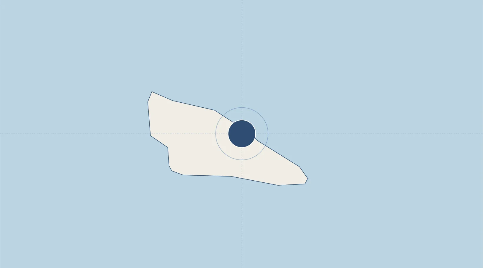
-12.2981°, 43.7665°
4,265 ft
Longest runway
1
Runways
46 ft
Elevation

Runway & Layout

Mohéli Bandar Es Eslam Airport runway & taxiway layout
Runway & taxiway layout — OpenStreetMap (ODbL) / OurAirports

Radio Frequencies

TWR
119.7 MHz
OurAirports

Runways · 1

RunwayDimensions SurfaceTrue headingLit
13/31 4,265 × 98ft Asphalt 123°
OurAirports

Airport Specifications

IATA code
NWA
OurAirports
ICAO code
FMCI
OurAirports
Airport class
Medium airport
OurAirports
Scheduled service
No
OurAirports
Runway surface
Asphalt
OurAirports
Served city
Fomboni
OurAirports

Location

Location of FMCI
Natural Earth 10m (public domain) · Moûhîlî · FMCI · -12.30, 43.77GoogleOSMYandex

Nearby Logistics Neighbours

Airports
  1. 1Ouani Airport75 km
  2. 2Prince Said Ibrahim International Airport101 km
  3. 3Dzaoudzi Pamandzi International Airport174 km
  4. 4Pemba Airport360 km
  5. 5Mocímboa da Praia Airport386 km
Nearest neighbours — logibook spatial index (haversine) over the source coordinates
Cities
  1. 1Mutsamudu, Anjouan69 km
  2. 2Anjouan Apt71 km
  3. 3Longoni159 km
  4. 4Kani-Kéli162 km
  5. 5Chirongui166 km
Nearest neighbours — logibook spatial index (haversine) over the source coordinates
Ports
  1. 1Fomboni4 km
  2. 2Moutsamoudu71 km
  3. 3Moroni87 km
  4. 4Dzaoudzi170 km
  5. 5Ibo342 km
Nearest neighbours — logibook spatial index (haversine) over the source coordinates
Trade Zones
  1. 1Nacala Special Economic Zone & Airport City411 km
  2. 2Minheuene Industrial Free Zone420 km
  3. 3Locone Industrial Free Zone422 km
  4. 4Crusse & Jamali Special Economic Zone424 km
  5. 5Mtwara Special Economic Zone449 km
Nearest neighbours — logibook spatial index (haversine) over the source coordinates
DatabookThe Record of Consolidated Knowledge
Comoros beyond logistics?
Browse databook

All Sources

AirportsOurAirports
Public domain
Portsthe NGA World Port Index
Public domain (US gov)
LocationsUN/LOCODE
UN/LOCODE — free
Trade Zonesthe World Bank SEZ database
CC BY 4.0
Trade ZonesOpen Zone Map
CC BY
InfrastructureOpenStreetMap
ODbL 1.0
← Comoros airports