UN/LOCODE hub · Japan
JPHDD

Iwamizawa

43.2000°, 141.7500°
85,107
Population
1
Transport functions

Transport Functions

Multimodal
UN/LOCODE

Hub Profile

Place type
Provincial seat
GeoNames
Region
Hokkaido
GeoNames
Population
85,107
GeoNames
Time zone
Asia/Tokyo
GeoNames
Elevation
17 m
GeoNames

Location

Location of JPHDD
Natural Earth 10m (public domain) · Hokkaido · JPHDD · 43.20, 141.75GoogleOSMYandex

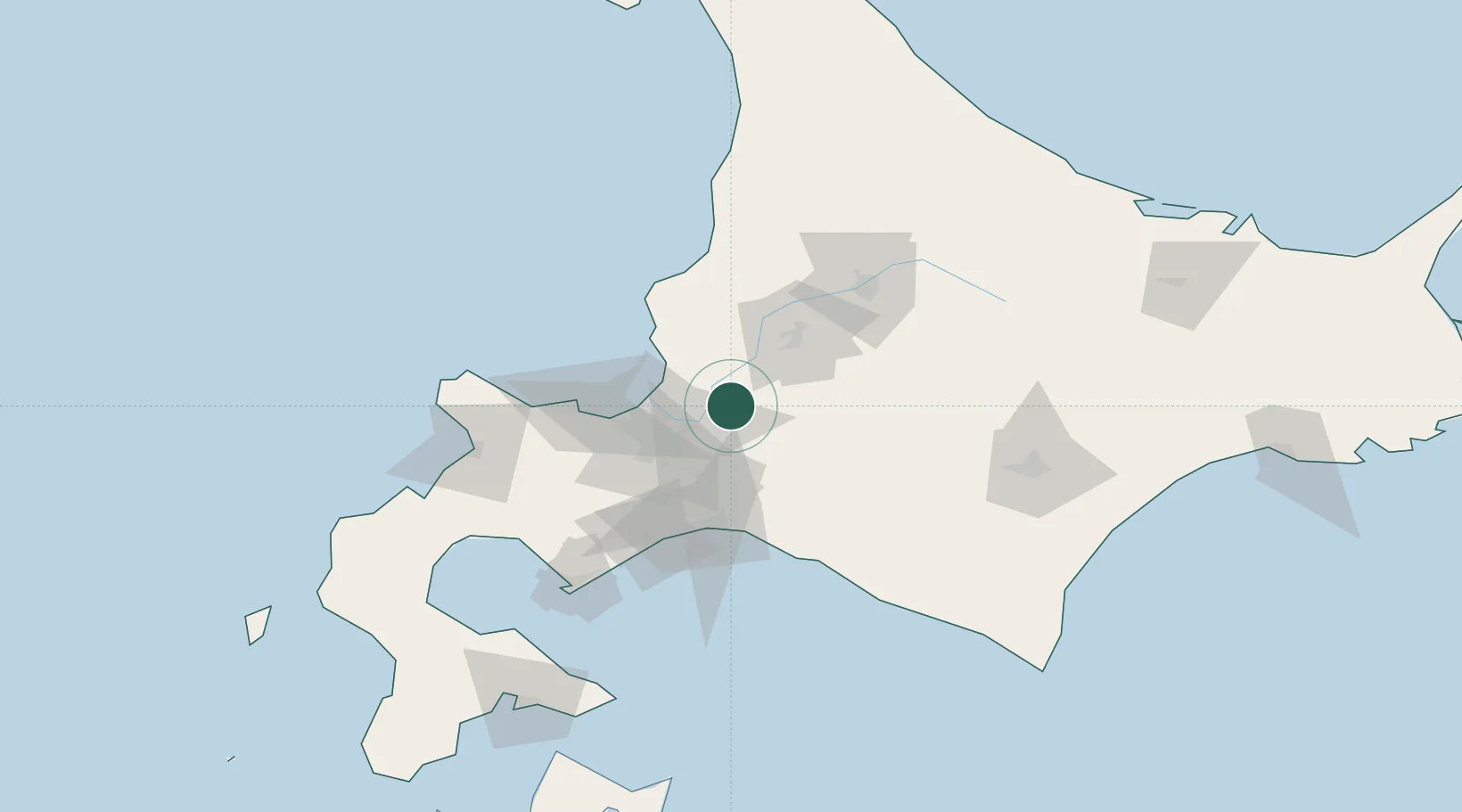
Nearby Logistics Neighbours

Cities
  1. 1Sapporo36 km
  2. 2Ishikariwan Shinko37 km
  3. 3Ishikari37 km
  4. 4Takikawa, Hokkaido41 km
  5. 5Tomakomai64 km
Nearest neighbours — logibook spatial index (haversine) over the source coordinates
Ports
  1. 1Wakkanai25 km
  2. 2Ishikari Bay New Port38 km
  3. 3Otaru Ko59 km
  4. 4Tomakomai Ko64 km
  5. 5Rumoi Ko84 km
Nearest neighbours — logibook spatial index (haversine) over the source coordinates
Airports
  1. 1Sapporo Okadama Airport31 km
  2. 2JASDF Chitose Air Base46 km
  3. 3New Chitose Airport48 km
  4. 4Asahikawa Airport77 km
  5. 5Tokachi Airport120 km
Nearest neighbours — logibook spatial index (haversine) over the source coordinates
DatabookThe Record of Consolidated Knowledge
Japan beyond logistics?
Browse databook

All Sources

LocationsUN/LOCODE
UN/LOCODE — free
LocationsGeoNames
CC BY 4.0
Portsthe NGA World Port Index
Public domain (US gov)
AirportsOurAirports
Public domain
Trade Zonesthe World Bank SEZ database
CC BY 4.0
Trade ZonesOpen Zone Map
CC BY
← Japan locations