UN/LOCODE hub · Japan
JPISI
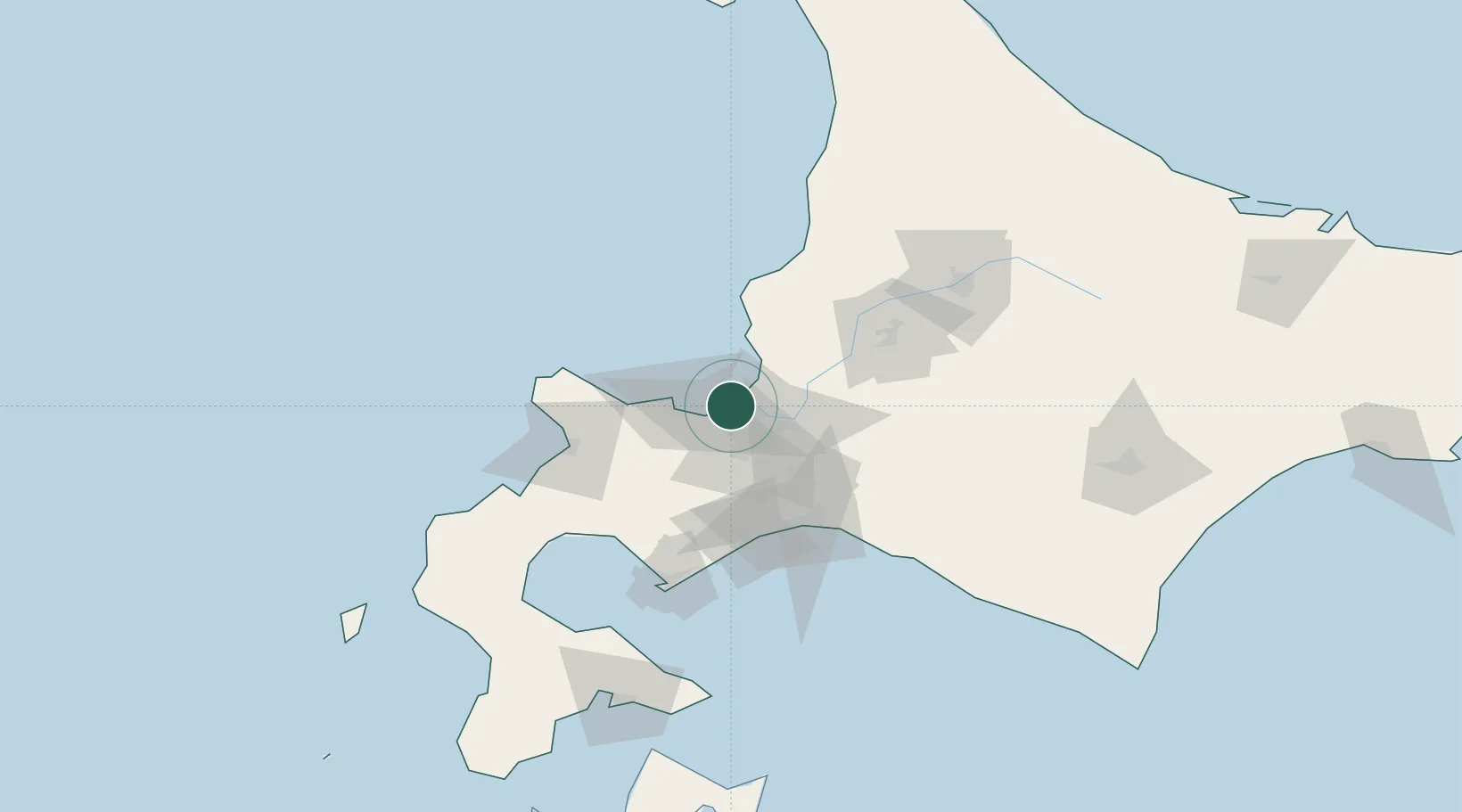
Ishikari
43.1889°, 141.2933°
58,755
Population
1
Transport functions
1
Container terminals
Transport Functions
Port
Hub Profile
Place type
Provincial seat
Region
Hokkaido
Population
58,755
Time zone
Asia/Tokyo
Elevation
0 m
Logistics facilities
3
Container terminals
1
Location
Nearby Logistics Neighbours
Cities
- 1Ishikariwan Shinko0 km
- 2Sapporo14 km
- 3Iwamizawa37 km
- 4Kutchan56 km
- 5Takikawa, Hokkaido63 km
Ports
- 1Otaru Ko23 km
- 2Wakkanai41 km
- 3Tomakomai Ko68 km
- 4Rumoi Ko89 km
- 5Muroran Ko97 km
Airports
- 1Sapporo Okadama Airport11 km
- 2JASDF Chitose Air Base53 km
- 3New Chitose Airport56 km
- 4Asahikawa Airport108 km
- 5Tokachi Airport155 km
DatabookThe Record of Consolidated Knowledge
Japan beyond logistics?