Channel & Berth Profile
Pilotage, Tugs & Services
Pilotage compulsoryNO
Pilotage availableYES
Pilotage advisableYES
Tug assistanceYES
Potable waterYES
MedicalYES
Facilities & Capabilities
Container—
Ro-Ro—
Liquid bulk—
Dry bulk—
Oil terminal—
Break bulk—
Dry dock—
RepairsNO
BunkeringYES
Rail linkYES
Dangerous cargo—
ISPS security—
Harbour Specifications
Harbour size
Very Small
Harbour type
Coastal (Breakwater)
Shelter
Good
Water body
Sea of Japan; North Pacific Ocean
Pilotage
No
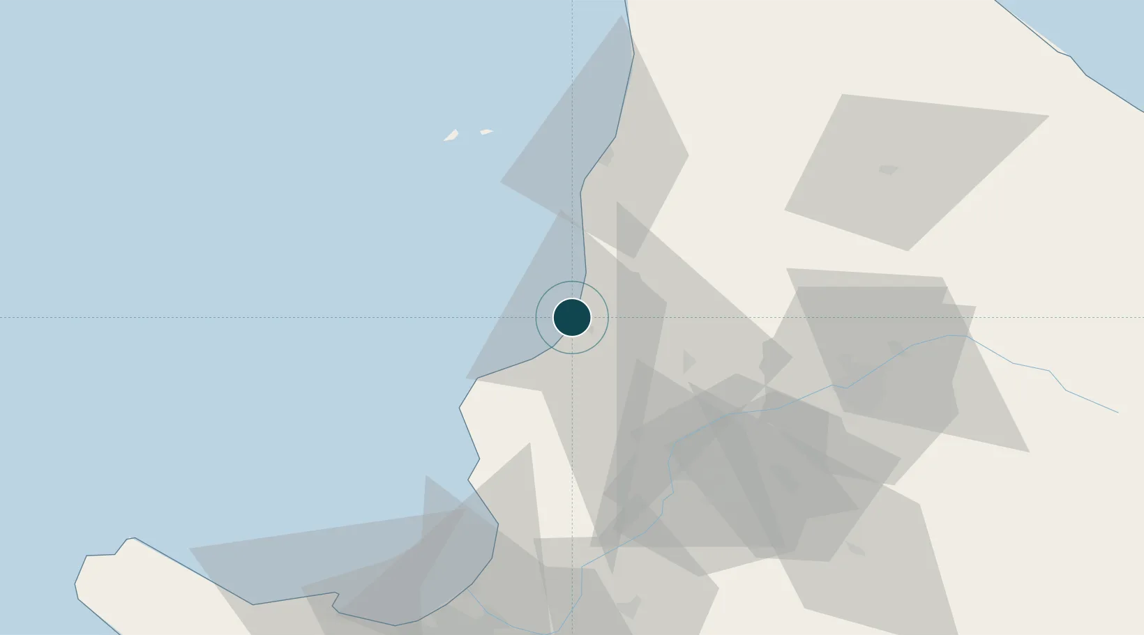
Location
Nearby Logistics Neighbours
Ports
- 1Wakkanai59 km
- 2Ishikari Bay New Port86 km
- 3Otaru Ko97 km
- 4Tomakomai Ko146 km
- 5Muroran Ko186 km
Cities
- 1Takikawa, Hokkaido49 km
- 2Iwamizawa84 km
- 3Ishikariwan Shinko89 km
- 4Ishikari89 km
- 5Sapporo101 km
Airports
- 1Asahikawa Airport72 km
- 2Sapporo Okadama Airport95 km
- 3JASDF Chitose Air Base129 km
- 4New Chitose Airport131 km
- 5Monbetsu Airport147 km
DatabookThe Record of Consolidated Knowledge
Japan beyond logistics?