Medium airport · Japan
Asahikawa AirportRJEC
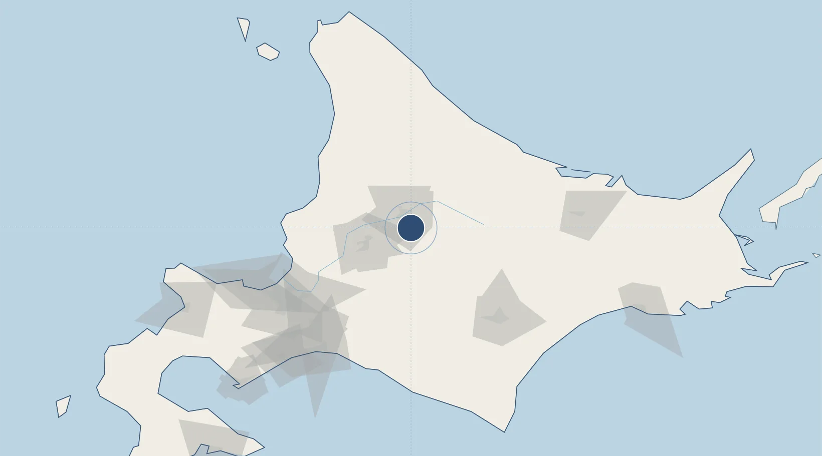
43.6708°, 142.4470°
8,200 ft
Longest runway
1
Runways
721 ft
Elevation
Runway & Layout

Radio Frequencies
TWR
118.55 MHz
DAISETSU TWR
ACC
127.5 MHz
SAPPORO CON
Navaids
AWE VOR-DME Asahikawa 113.50 MHz
Runways · 1
| Runway | Dimensions | Surface | True heading | Lit |
|---|---|---|---|---|
| 16/34 | 8,200 × 200ft | Asphalt | 154° | ✓ |
Airport Specifications
IATA code
AKJ
ICAO code
RJEC
Airport class
Medium airport
Scheduled service
Yes
Runway surface
Asphalt
Served city
Higashikagura
Location
Nearby Logistics Neighbours
Airports
- 1Monbetsu Airport104 km
- 2Tokachi Airport104 km
- 3Sapporo Okadama Airport106 km
- 4JASDF Chitose Air Base116 km
- 5New Chitose Airport117 km
Cities
- 1Takikawa, Hokkaido46 km
- 2Iwamizawa77 km
- 3Ishikariwan Shinko107 km
- 4Ishikari108 km
- 5Sapporo111 km
Ports
- 1Wakkanai68 km
- 2Rumoi Ko72 km
- 3Ishikari Bay New Port107 km
- 4Otaru Ko127 km
- 5Tomakomai Ko133 km
DatabookThe Record of Consolidated Knowledge
Japan beyond logistics?