Transport Functions
Rail
Road
Airport
Hub Profile
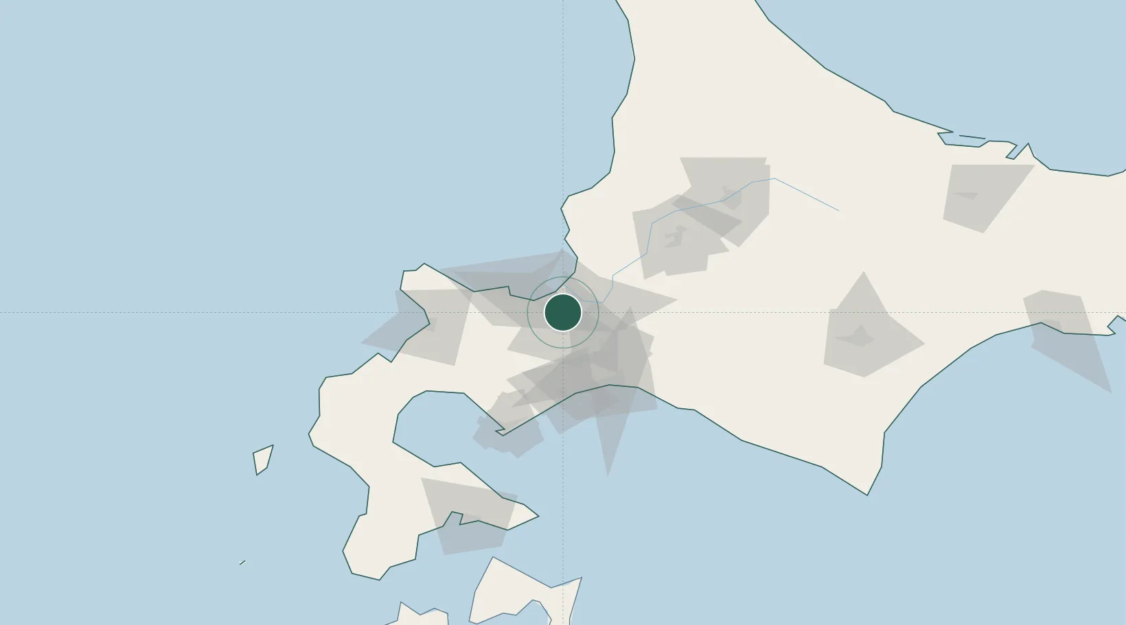
Place type
Regional capital
Region
Hokkaido
Population
1,973,832
Time zone
Asia/Tokyo
Elevation
26 m
Location
Nearby Logistics Neighbours
Cities
- 1Ishikari14 km
- 2Ishikariwan Shinko14 km
- 3Iwamizawa36 km
- 4Kutchan54 km
- 5Tomakomai60 km
Ports
- 1Ishikari Bay New Port18 km
- 2Otaru Ko31 km
- 3Wakkanai47 km
- 4Tomakomai Ko53 km
- 5Muroran Ko86 km
Airports
- 1Sapporo Okadama Airport6 km
- 2JASDF Chitose Air Base40 km
- 3New Chitose Airport43 km
- 4Asahikawa Airport111 km
- 5Tokachi Airport148 km
DatabookThe Record of Consolidated Knowledge
Japan beyond logistics?