Channel & Berth Profile
Pilotage, Tugs & Services
Pilotage compulsoryNO
Pilotage availableYES
Tug assistanceYES
Potable waterYES
MedicalYES
Facilities & Capabilities
Container—
Ro-Ro—
Liquid bulk—
Dry bulk—
Oil terminal—
Break bulk—
Dry dockNO
RepairsNO
BunkeringYES
Rail linkYES
Dangerous cargo—
ISPS security—
Harbour Specifications
Harbour size
Very Small
Harbour type
Coastal (Breakwater)
Shelter
Fair
Water body
Sea of Japan; North Pacific Ocean
Tidal range
6 m
Pilotage
No
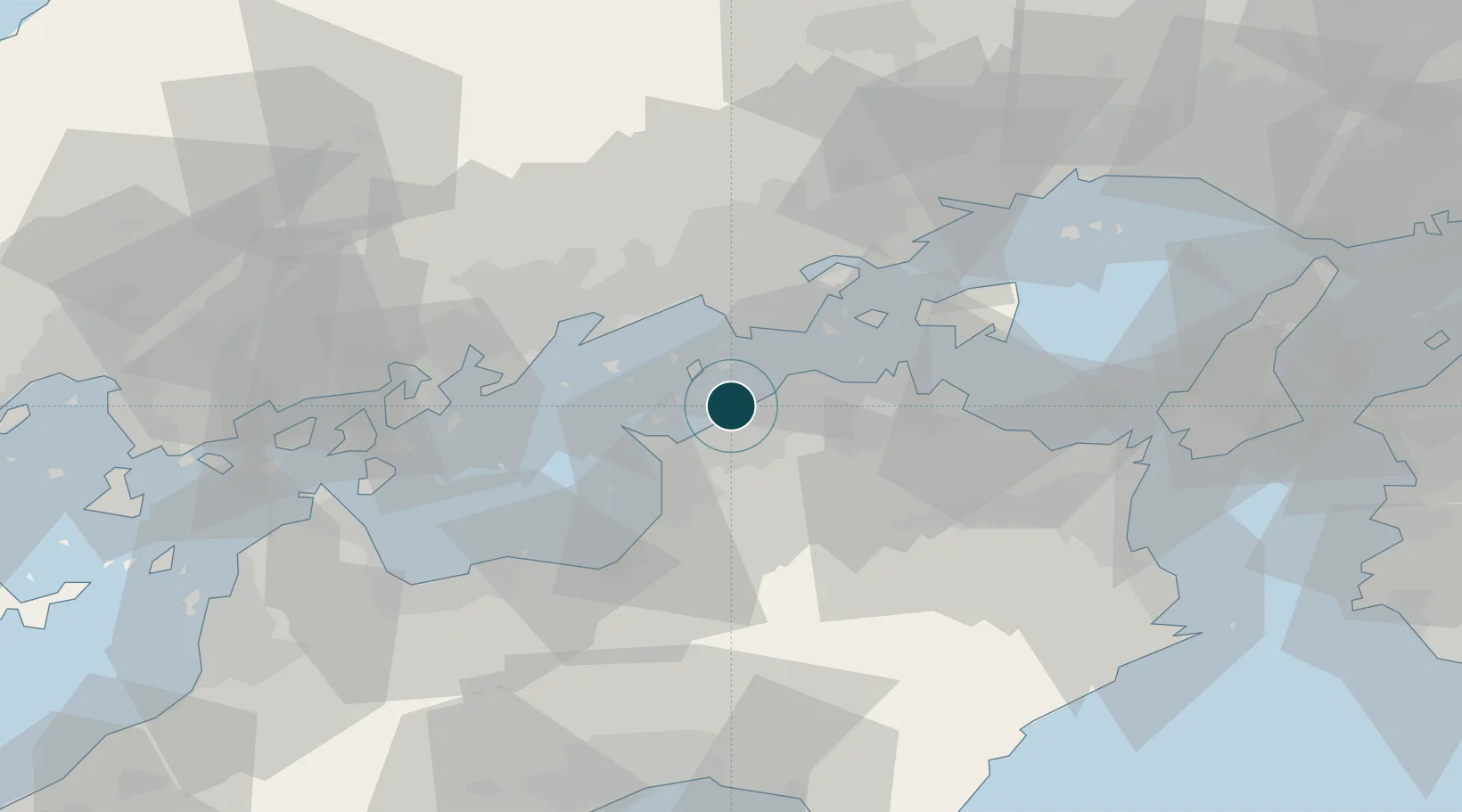
Location
Nearby Logistics Neighbours
Ports
- 1Sakaide Ko7 km
- 2Takuma13 km
- 3Hibi Ko22 km
- 4Mizushima Ko22 km
- 5Takamatsu25 km
Cities
- 1Ayagawa18 km
- 2Mitoyo, Kagawa18 km
- 3Mizushima25 km
- 4Takamatsu27 km
- 5Tamashima27 km
Airports
Trade Zones
- 1Kagawa Medical Welfare General Special Zone0 km
- 2Hyper & Green Innovation Mizushima Complex General Special Zone24 km
- 3Takamatsu Compact Eco-City Special Zone28 km
- 4Okayama-type Sustainable Socio-Economic Model Construction Comprehensive Special Zone41 km
- 5Hiroshima Environmental Tourism Model Urban Development Promotion Special Zone47 km
DatabookThe Record of Consolidated Knowledge
Japan beyond logistics?