Transport Functions
Port
Multimodal
Hub Profile
Region
36
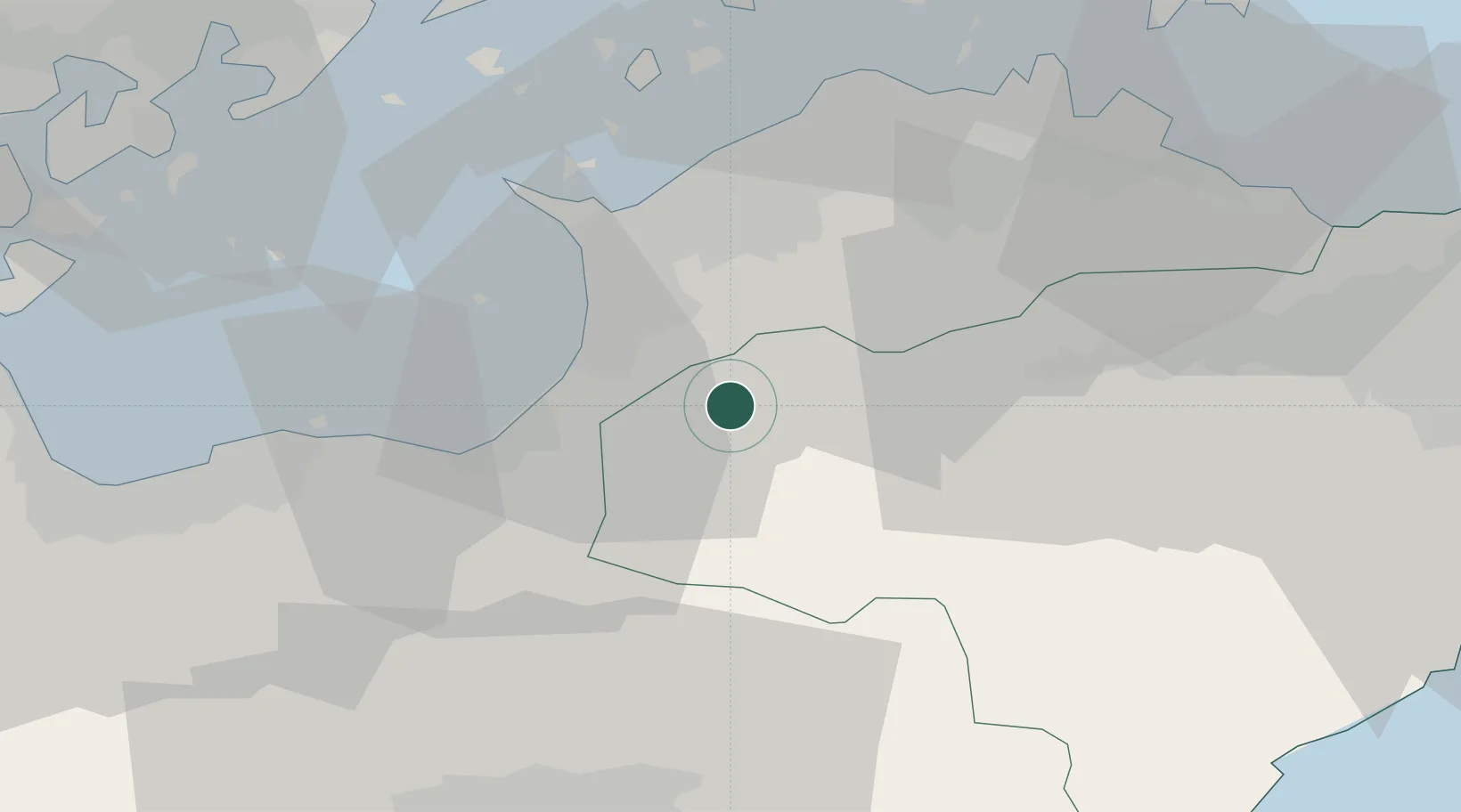
Location
Nearby Logistics Neighbours
Cities
- 1Mitoyo, Kagawa18 km
- 2Shikokuchuo23 km
- 3Mishima, Kawanoe24 km
- 4Iyomishima24 km
- 5Yoshinogawa Tokushima42 km
Ports
- 1Mishima-Kawanoe Ko23 km
- 2Takuma25 km
- 3Marugame Ko32 km
- 4Sakaide Ko36 km
- 5Takamatsu44 km
Airports
DatabookThe Record of Consolidated Knowledge
Japan beyond logistics?