Transport Functions
Multimodal
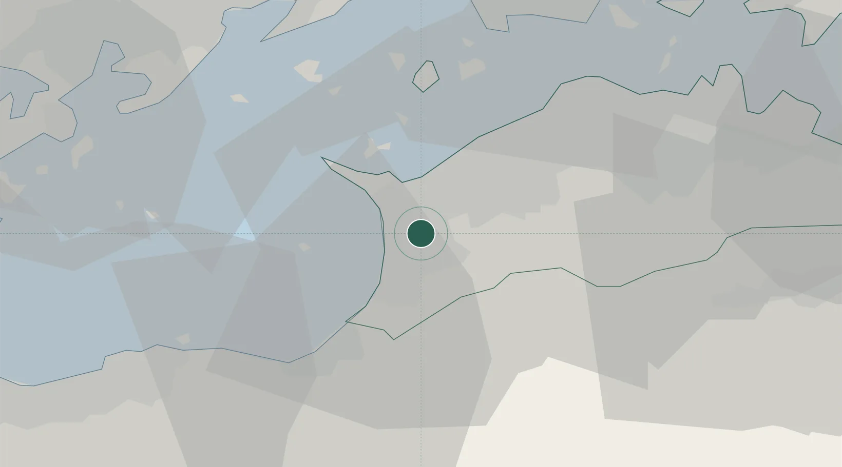
Hub Profile
Region
37
Location
Nearby Logistics Neighbours
Cities
- 1Miyoshi, Tokushima18 km
- 2Mishima, Kawanoe22 km
- 3Iyomishima22 km
- 4Shikokuchuo23 km
- 5Ayagawa36 km
Ports
- 1Takuma8 km
- 2Marugame Ko18 km
- 3Mishima-Kawanoe Ko22 km
- 4Sakaide Ko25 km
- 5Takamatsu39 km
Airports
Trade Zones
- 1Kagawa Medical Welfare General Special Zone18 km
- 2Hyper & Green Innovation Mizushima Complex General Special Zone40 km
- 3Takamatsu Compact Eco-City Special Zone41 km
- 4Hiroshima Environmental Tourism Model Urban Development Promotion Special Zone50 km
- 5Saijō Agricultural Innovation City General Special Zone55 km
DatabookThe Record of Consolidated Knowledge
Japan beyond logistics?