Channel & Berth Profile
Pilotage, Tugs & Services
Pilotage compulsoryNO
Pilotage availableYES
Pilotage advisableYES
Local assistanceYES
Tug assistanceYES
Salvage tugsNO
Potable waterYES
MedicalYES
Facilities & Capabilities
Container—
Ro-Ro—
Liquid bulk—
Dry bulk—
Oil terminal—
Break bulk—
Dry dockNO
RepairsNO
BunkeringYES
Rail linkYES
Dangerous cargo—
ISPS security—
Harbour Specifications
Harbour size
Medium
Harbour type
Coastal (Natural)
Shelter
Good
Water body
East China Sea; North Pacific Ocean
Tidal range
2 m
Pilotage
No
Liner Connectivity
8.4
PLSCI
Port Liner Shipping Connectivity Index for Kagoshima Ko, as published by UNCTAD for the latest available quarter. Higher values indicate stronger scheduled liner-shipping integration.
Shown relative to the highest per-port PLSCI in the dataset (1,657.9).
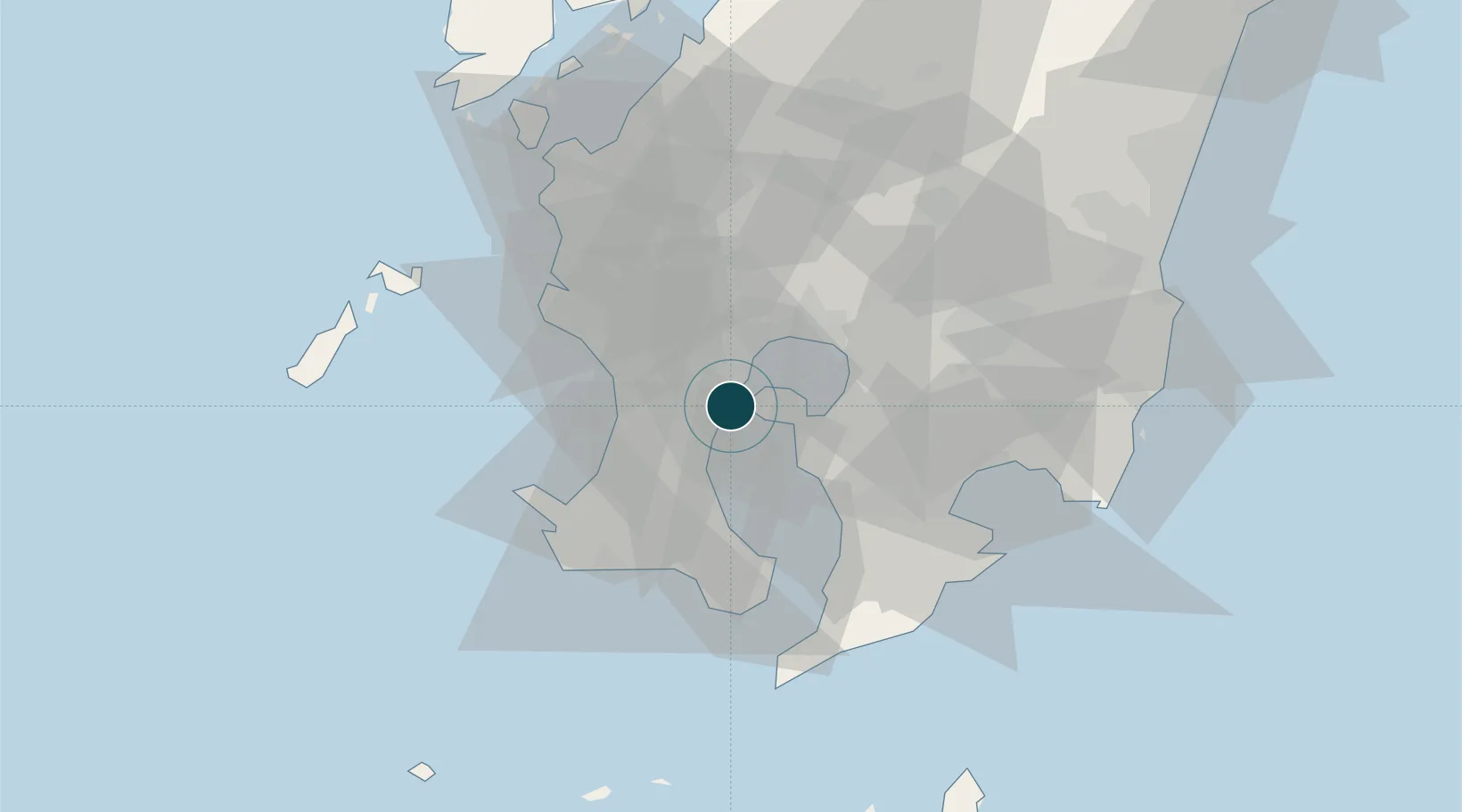
Location
Nearby Logistics Neighbours
Ports
- 1Kiire22 km
- 2Shibushi Wan52 km
- 3Minamata Ko71 km
- 4Yatsushiro Ko102 km
- 5Misumi Ko113 km
Cities
- 1Aira18 km
- 2Hioki21 km
- 3Ichikikushikino32 km
- 4Satsumasendai36 km
- 5Muta, Nagasaki39 km
Airports
- 1Kagoshima Airport28 km
- 2JMSDF Kanoya Air Base35 km
- 3Miyazaki Airport90 km
- 4Amakusa Airport107 km
- 5New Tanegashima Airport116 km
DatabookThe Record of Consolidated Knowledge
Japan beyond logistics?