Channel & Berth Profile
Pilotage, Tugs & Services
Pilotage compulsoryYES
Pilotage availableYES
Pilotage advisableYES
Tug assistanceYES
Shore powerYES
Potable waterYES
MedicalYES
Facilities & Capabilities
Container—
Ro-Ro—
Liquid bulk—
Dry bulk—
Oil terminal—
Break bulk—
Dry dock—
RepairsNO
BunkeringYES
Rail linkYES
Dangerous cargo—
ISPS security—
Harbour Specifications
Harbour size
Very Small
Harbour type
Open Roadstead
Shelter
Fair
Water body
East China Sea; North Pacific Ocean
Tidal range
3 m
Overhead limit
Yes
Pilotage
Yes
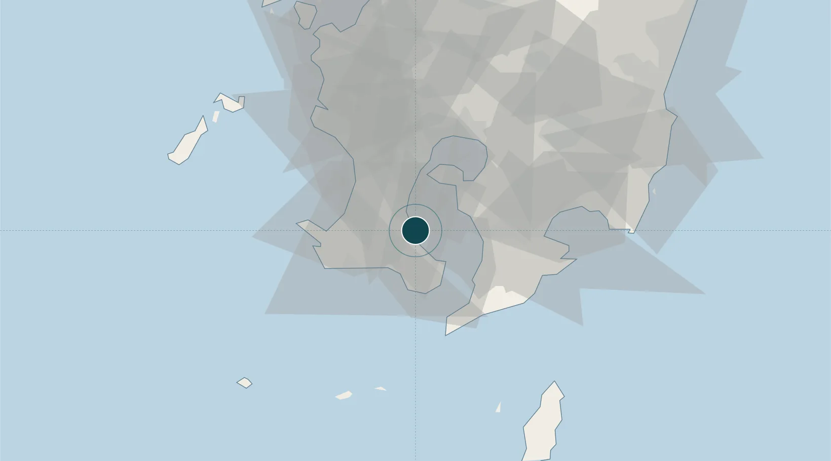
Location
Nearby Logistics Neighbours
Ports
- 1Kagoshima Ko22 km
- 2Shibushi Wan53 km
- 3Minamata Ko92 km
- 4Yatsushiro Ko124 km
- 5Misumi Ko136 km
Cities
- 1Kagoshima16 km
- 2Taniyama25 km
- 3Hioki29 km
- 4Aira40 km
- 5Ichikikushikino46 km
Airports
- 1JMSDF Kanoya Air Base28 km
- 2Kagoshima Airport49 km
- 3New Tanegashima Airport96 km
- 4Miyazaki Airport101 km
- 5Yakushima Airport111 km
DatabookThe Record of Consolidated Knowledge
Japan beyond logistics?