Diversified Zone · Japan
Nagasaki Marine Environmental Industry Base Special Zone Active
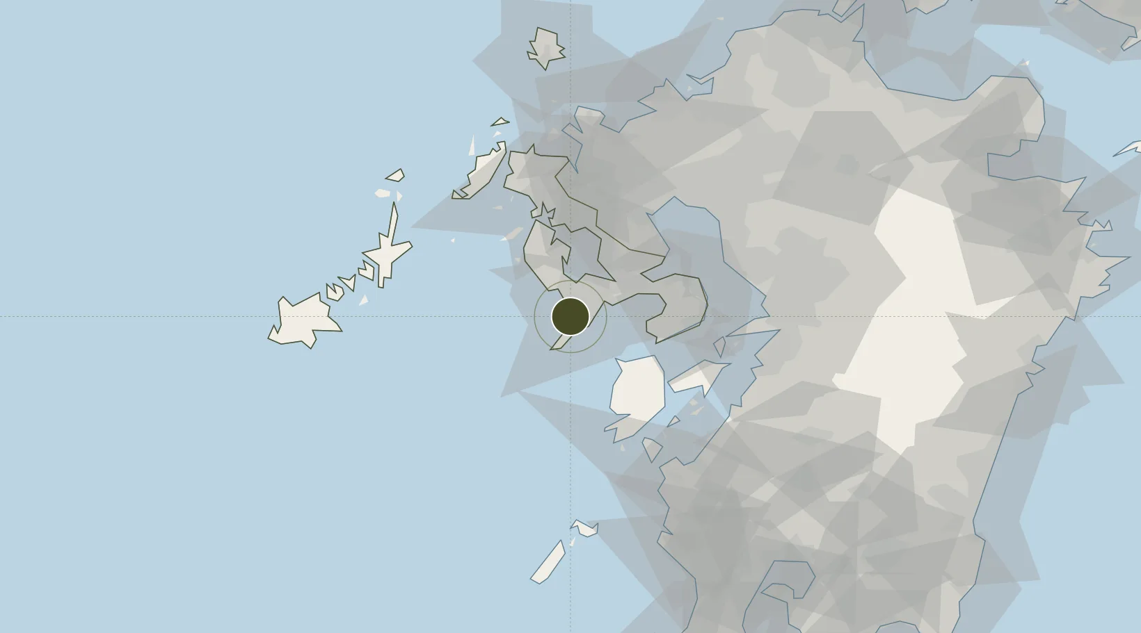
32.7022°, 129.8215°
33 ha
Zone area
3.1 km
Nearest port
25.4 km
Nearest airport
Gateway access
Zone profile
Zone type
Diversified Zone
Region
Nagasaki
Status
Active
Management
Public
Operator
Nagasaki Prefecture
Legal framework
2013 Prime Minister's Environmental Industry Base Special Zone Regional Revitalization Policy
Location
Nearby Logistics Neighbours
Ports
- 1Nagasaki3 km
- 2Matsu-Shima33 km
- 3Sasebo53 km
- 4Misumi Ko62 km
- 5Miike Ko65 km
Airports
- 1Nagasaki Airport25 km
- 2Amakusa Airport40 km
- 3Kyushu Saga International Airport67 km
- 4Fukue Airport93 km
- 5Kumamoto Airport98 km
Cities
- 1Nagasaki2 km
- 2Saikai30 km
- 3Seto31 km
- 4Takahama/Amakusa41 km
- 5Ôshima, Nagasaki45 km
DatabookThe Record of Consolidated Knowledge
Japan beyond logistics?