Transport Functions
Port
Airport
Hub Profile
Place type
Regional capital
Region
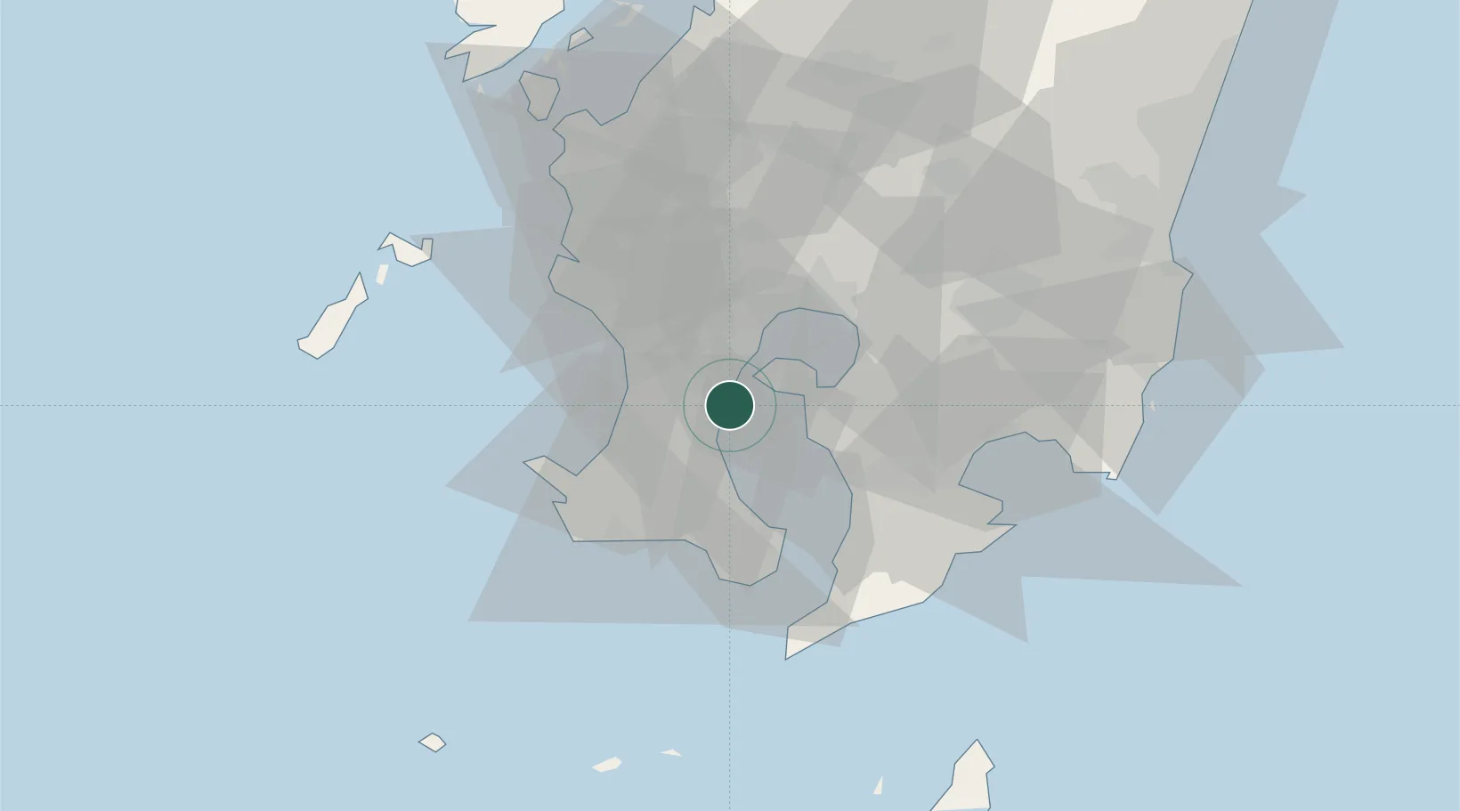
Kagoshima
Population
595,049
Time zone
Asia/Tokyo
Elevation
6 m
Logistics facilities
3
Location
Nearby Logistics Neighbours
Cities
- 1Hioki19 km
- 2Aira25 km
- 3Ichikikushikino34 km
- 4Taniyama35 km
- 5Satsumasendai40 km
Ports
- 1Kiire16 km
- 2Shibushi Wan53 km
- 3Minamata Ko77 km
- 4Yatsushiro Ko108 km
- 5Misumi Ko120 km
Airports
- 1JMSDF Kanoya Air Base33 km
- 2Kagoshima Airport35 km
- 3Miyazaki Airport94 km
- 4New Tanegashima Airport111 km
- 5Amakusa Airport112 km
DatabookThe Record of Consolidated Knowledge
Japan beyond logistics?