UN/LOCODE hub · Japan
JPICO
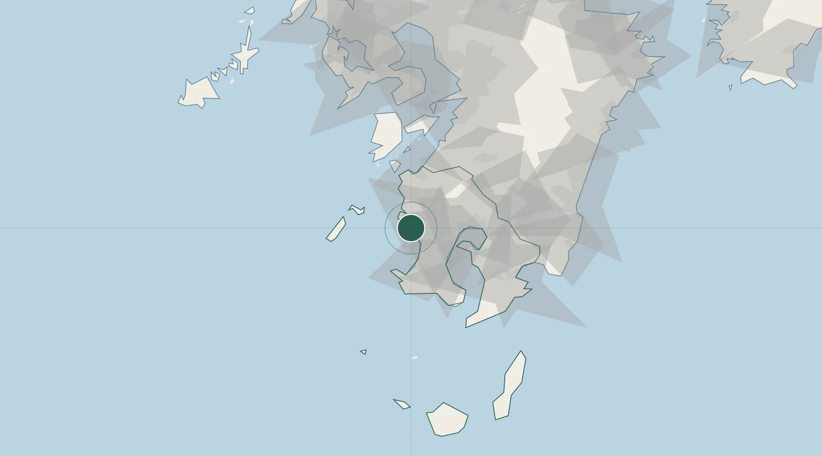
Ichikikushikino
31.7167°, 130.2667°
30,551
Population
3
Transport functions
Transport Functions
Port
Rail
Road
Hub Profile
Place type
Provincial seat
Region
Kagoshima
Population
30,551
Time zone
Asia/Tokyo
Elevation
26 m
Location
Nearby Logistics Neighbours
Cities
- 1Muta, Nagasaki11 km
- 2Satsumasendai12 km
- 3Hioki17 km
- 4Satsumasendai17 km
- 5Kagoshima34 km
Ports
- 1Kagoshima Ko32 km
- 2Kiire46 km
- 3Minamata Ko55 km
- 4Shibushi Wan84 km
- 5Yatsushiro Ko91 km
Airports
- 1Kagoshima Airport44 km
- 2JMSDF Kanoya Air Base67 km
- 3Amakusa Airport86 km
- 4Miyazaki Airport113 km
- 5Kumamoto Airport136 km
DatabookThe Record of Consolidated Knowledge
Japan beyond logistics?