UN/LOCODE hub · Japan
JPSDI

Satsumasendai

31.8167°, 130.3000°
2
Transport functions

Transport Functions

Road
Multimodal
UN/LOCODE

Hub Profile

Region
46
GeoNames

Location

Location of JPSDI
Natural Earth 10m (public domain) · 46 · JPSDI · 31.82, 130.30GoogleOSMYandex

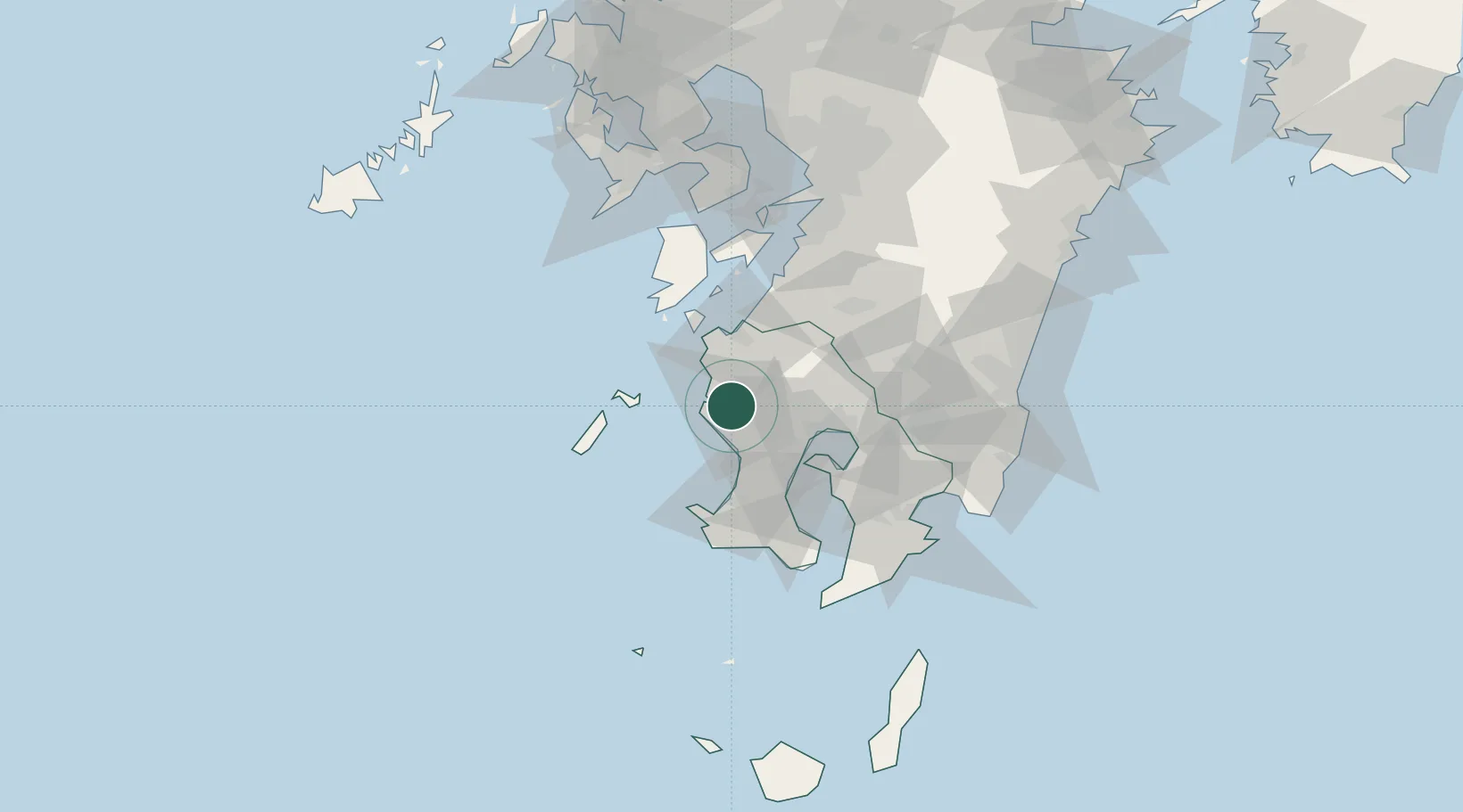
Nearby Logistics Neighbours

Cities
  1. 1Muta, Nagasaki3 km
  2. 2Satsumasendai11 km
  3. 3Ichikikushikino12 km
  4. 4Hioki26 km
  5. 5Izumi30 km
Nearest neighbours — logibook spatial index (haversine) over the source coordinates
Ports
  1. 1Kagoshima Ko36 km
  2. 2Minamata Ko43 km
  3. 3Kiire54 km
  4. 4Yatsushiro Ko79 km
  5. 5Shibushi Wan85 km
Nearest neighbours — logibook spatial index (haversine) over the source coordinates
Airports
  1. 1Kagoshima Airport40 km
  2. 2JMSDF Kanoya Air Base72 km
  3. 3Amakusa Airport75 km
  4. 4Miyazaki Airport109 km
  5. 5Kumamoto Airport125 km
Nearest neighbours — logibook spatial index (haversine) over the source coordinates
DatabookThe Record of Consolidated Knowledge
Japan beyond logistics?
Browse databook

All Sources

LocationsUN/LOCODE
UN/LOCODE — free
Portsthe NGA World Port Index
Public domain (US gov)
AirportsOurAirports
Public domain
Trade Zonesthe World Bank SEZ database
CC BY 4.0
Trade ZonesOpen Zone Map
CC BY
← Japan locations