Large airport · Japan
Miyazaki AirportRJFM
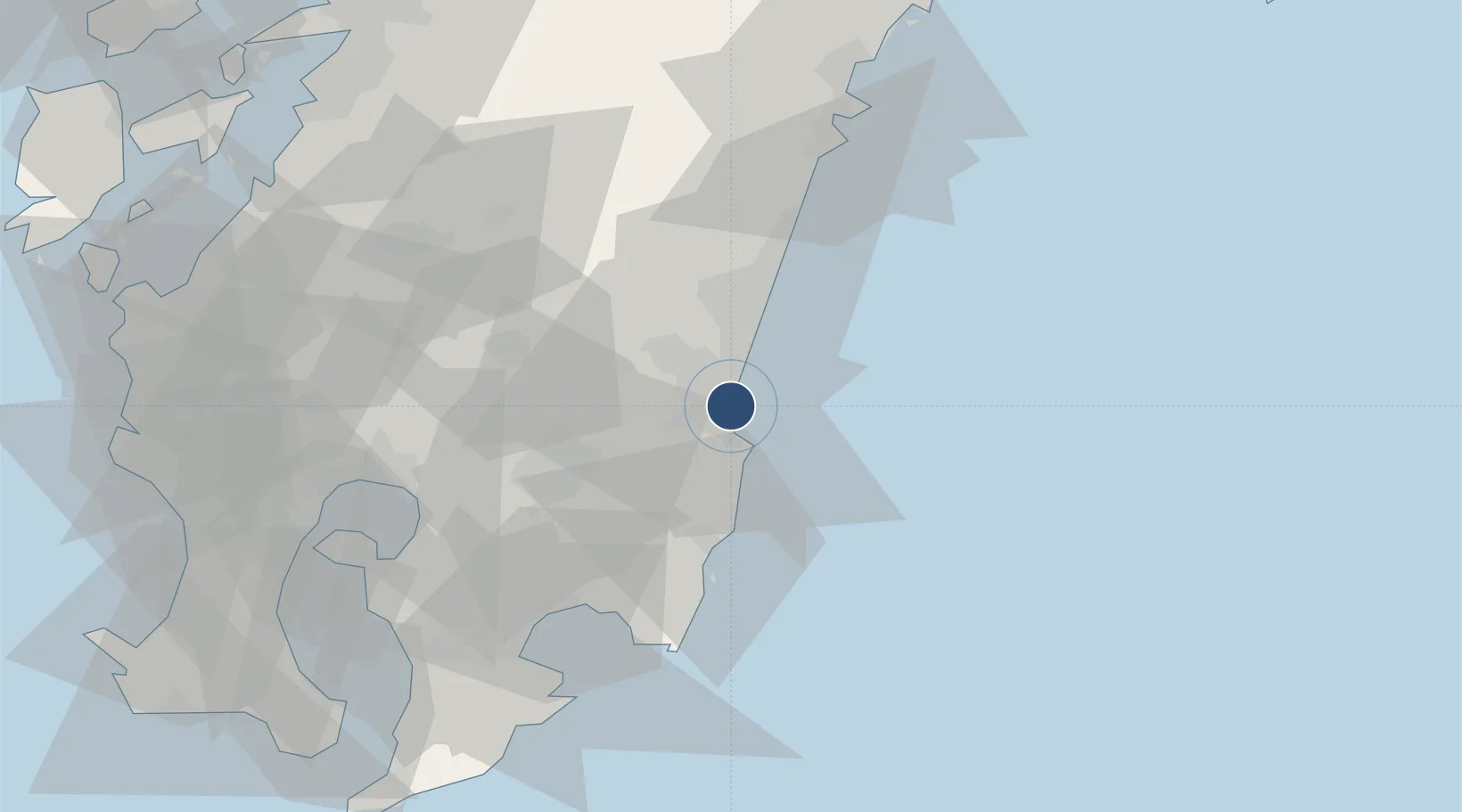
31.8772°, 131.4490°
8,200 ft
Longest runway
1
Runways
20 ft
Elevation
Runway & Layout

Radio Frequencies
ATIS
126.8 MHz
TWR
118.3 MHz
GND
121.9 MHz
APP
121.4 MHz
DEP
120.1 MHz
Navaids
MZE VOR-DME Miyazaki 112.40 MHz
Runways · 1
| Runway | Dimensions | Surface | True heading | Lit |
|---|---|---|---|---|
| 09/27 | 8,200 × 150ft | Asphalt | 085° | ✓ |
Airport Specifications
IATA code
KMI
ICAO code
RJFM
Airport class
Large airport
Scheduled service
Yes
Runway surface
Asphalt
Served city
Miyazaki
Location
Nearby Logistics Neighbours
Airports
- 1Kagoshima Airport69 km
- 2JMSDF Kanoya Air Base81 km
- 3Kumamoto Airport121 km
- 4Amakusa Airport139 km
- 5New Tanegashima Airport148 km
Cities
- 1Aburatsu37 km
- 2Tsuno43 km
- 3Fukushima, Miyazaki51 km
- 4Soo52 km
- 5Shibushi58 km
Ports
- 1Shibushi Wan56 km
- 2Hososhima Ko65 km
- 3Kagoshima Ko90 km
- 4Kiire101 km
- 5Minamata Ko107 km
DatabookThe Record of Consolidated Knowledge
Japan beyond logistics?