Specialized Zone · Japan
Tsubaki Goto Islands Revitalization Special Zone Inactive
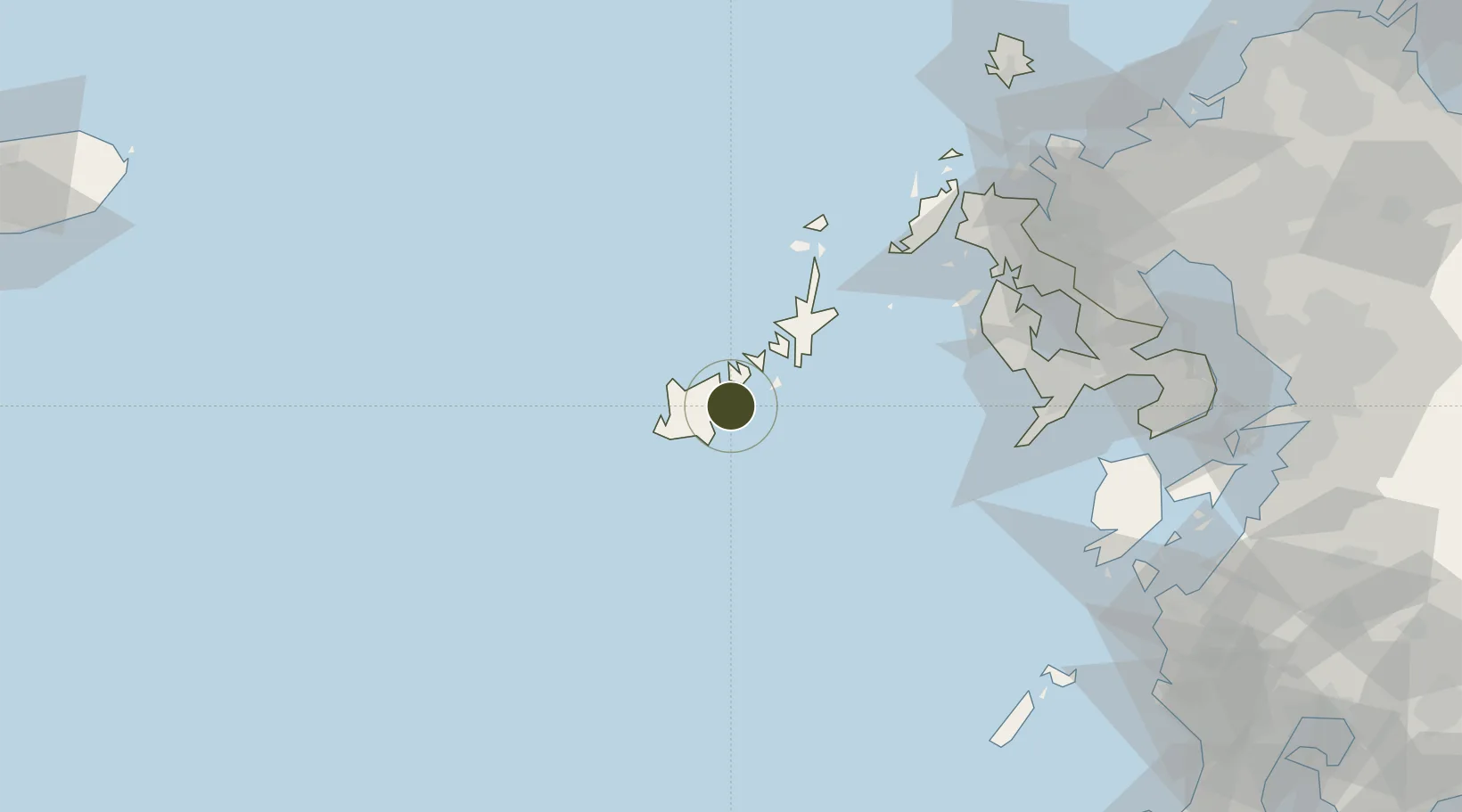
32.6962°, 128.8450°
69,000 ha
Zone area
38.1 km
Nearest port
3.5 km
Nearest airport
Gateway access
Zone profile
Zone type
Specialized Zone
Specialization
Agriculture
Region
Nagasaki
Status
Inactive
Management
Public
Operator
Nagasaki Prefecture
Legal framework
Comprehensive Special Zone Law (Law No. 81 of 2011)
Location
Nearby Logistics Neighbours
Ports
- 1Aokata38 km
- 2Matsu-Shima75 km
- 3Nagasaki94 km
- 4Sasebo97 km
- 5Imari117 km
Airports
- 1Fukue Airport4 km
- 2Nagasaki Airport103 km
- 3Amakusa Airport125 km
- 4Kyushu Saga International Airport145 km
- 5Iki Airport146 km
Cities
- 1Goto2 km
- 2Ulju-gun/Ulsan45 km
- 3Seto78 km
- 4Saikai80 km
- 5Ôshima, Nagasaki83 km
Trade Zones
DatabookThe Record of Consolidated Knowledge
Japan beyond logistics?