Channel & Berth Profile
Pilotage, Tugs & Services
Pilotage compulsoryNO
Pilotage availableYES
Tug assistanceYES
Potable waterYES
MedicalYES
Facilities & Capabilities
Container—
Ro-Ro—
Liquid bulk—
Dry bulk—
Oil terminal—
Break bulk—
Dry dock—
RepairsNO
BunkeringYES
Rail linkYES
Dangerous cargo—
ISPS security—
Harbour Specifications
Harbour size
Small
Harbour type
Coastal (Natural)
Shelter
Fair
Water body
East China Sea; North Pacific Ocean
Tidal range
3 m
Pilotage
No
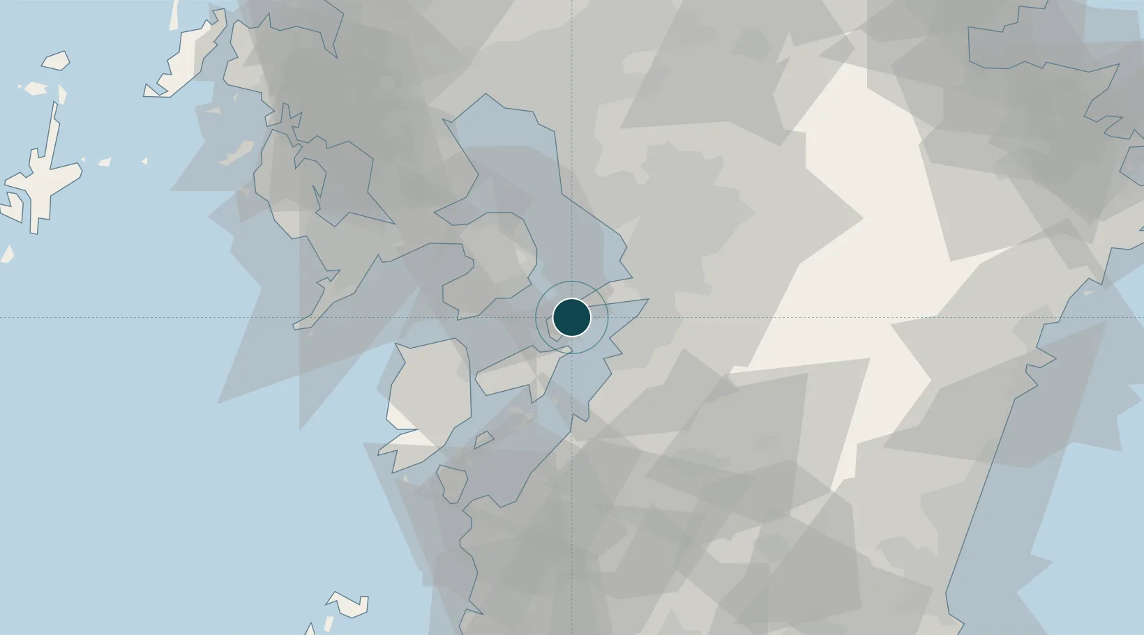
Location
Nearby Logistics Neighbours
Ports
- 1Yatsushiro Ko13 km
- 2Miike Ko45 km
- 3Minamata Ko45 km
- 4Nagasaki59 km
- 5Matsu-Shima89 km
Cities
- 1Yatsushiro13 km
- 2Kumamoto21 km
- 3Nagomi Kumamoto43 km
- 4Koshi43 km
- 5Miike, Fukuoka47 km
Airports
- 1Amakusa Airport32 km
- 2Kumamoto Airport45 km
- 3Nagasaki Airport63 km
- 4Kyushu Saga International Airport63 km
- 5Kagoshima Airport92 km
DatabookThe Record of Consolidated Knowledge
Japan beyond logistics?