Transport Functions
Port
Hub Profile
Region
42
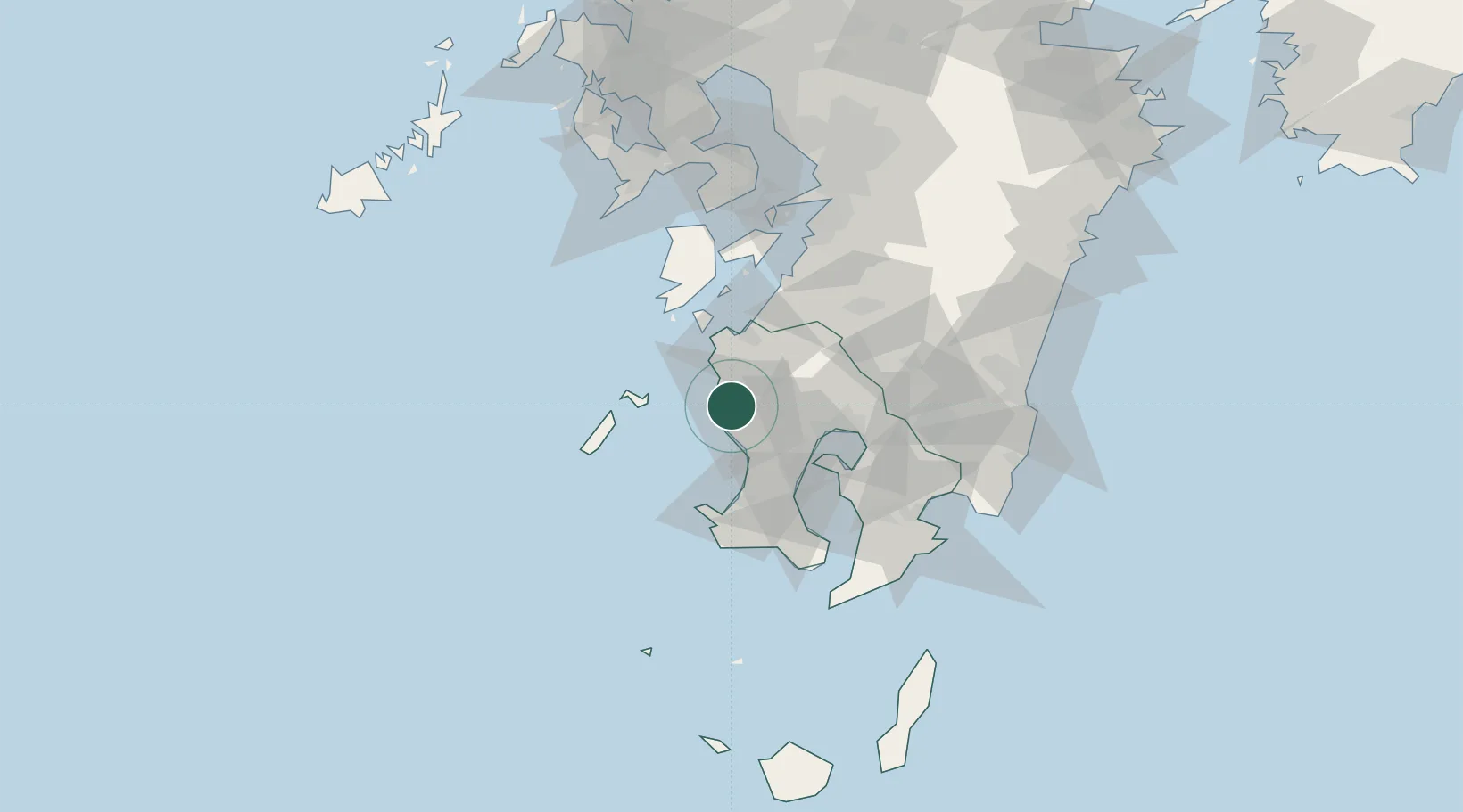
Location
Nearby Logistics Neighbours
Cities
- 1Satsumasendai3 km
- 2Satsumasendai9 km
- 3Ichikikushikino11 km
- 4Hioki27 km
- 5Izumi31 km
Ports
- 1Kagoshima Ko39 km
- 2Minamata Ko44 km
- 3Kiire55 km
- 4Yatsushiro Ko80 km
- 5Shibushi Wan88 km
Airports
- 1Kagoshima Airport43 km
- 2JMSDF Kanoya Air Base74 km
- 3Amakusa Airport75 km
- 4Miyazaki Airport112 km
- 5Kumamoto Airport126 km
DatabookThe Record of Consolidated Knowledge
Japan beyond logistics?