Medium airport · Japan
New Tanegashima AirportRJFG
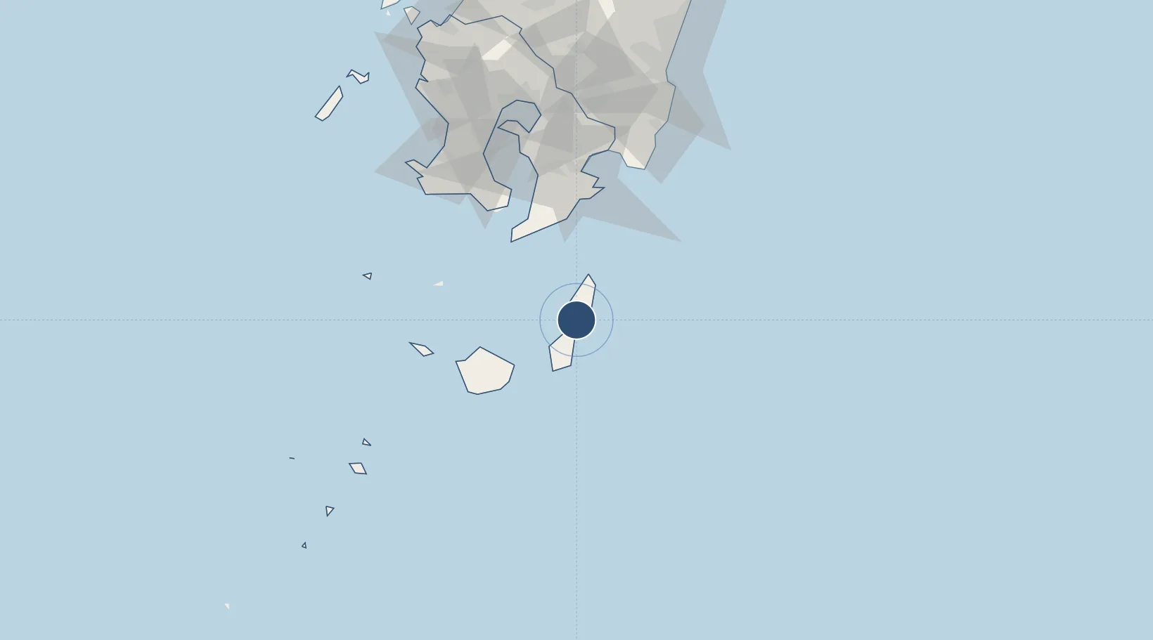
30.6051°, 130.9910°
6,544 ft
Longest runway
1
Runways
768 ft
Elevation
Runway & Layout

Radio Frequencies
APP
133.85 MHz
FUKUOKA
A/G
118.75 MHz
TANEGASHIMA
Navaids
TGE VOR-DME Nakatane 115.40 MHz
Runways · 1
| Runway | Dimensions | Surface | True heading | Lit |
|---|---|---|---|---|
| 13/31 | 6,544 × 147ft | Asphalt | 123° | ✓ |
Airport Specifications
IATA code
TNE
ICAO code
RJFG
Airport class
Medium airport
Scheduled service
Yes
Runway surface
Asphalt
Served city
Tanegashima
Location
Nearby Logistics Neighbours
Airports
- 1Yakushima Airport40 km
- 2JMSDF Kanoya Air Base86 km
- 3Kagoshima Airport136 km
- 4Miyazaki Airport148 km
- 5Amakusa Airport223 km
Cities
- 1Shibushi95 km
- 2Fukushima, Miyazaki98 km
- 3Taniyama99 km
- 4Kagoshima111 km
- 5Aburatsu112 km
Ports
- 1Kiire96 km
- 2Shibushi Wan96 km
- 3Kagoshima Ko116 km
- 4Minamata Ko187 km
- 5Hososhima Ko213 km
DatabookThe Record of Consolidated Knowledge
Japan beyond logistics?