Channel & Berth Profile
Pilotage, Tugs & Services
Pilotage compulsoryNO
Pilotage availableYES
Tug assistanceYES
Potable waterYES
MedicalYES
Facilities & Capabilities
Container—
Ro-Ro—
Liquid bulk—
Dry bulk—
Oil terminal—
Break bulk—
Dry dock—
RepairsNO
BunkeringYES
Rail linkYES
Dangerous cargo—
ISPS security—
Harbour Specifications
Harbour size
Very Small
Harbour type
Coastal (Breakwater)
Shelter
Fair
Water body
East China Sea; North Pacific Ocean
Tidal range
2 m
Pilotage
No
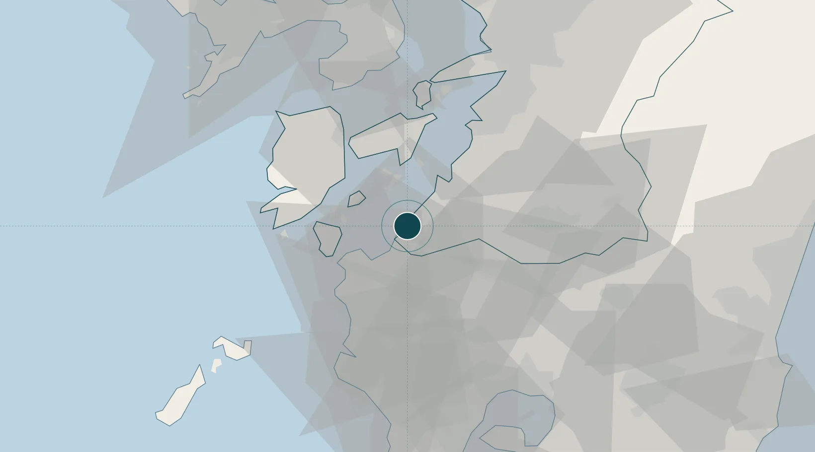
Location
Nearby Logistics Neighbours
Ports
- 1Yatsushiro Ko36 km
- 2Misumi Ko45 km
- 3Kagoshima Ko71 km
- 4Nagasaki76 km
- 5Miike Ko89 km
Cities
- 1Izumi13 km
- 2Yatsushiro40 km
- 3Takahama/Amakusa41 km
- 4Satsumasendai42 km
- 5Nishiki, Kumamoto42 km
Airports
- 1Amakusa Airport38 km
- 2Kagoshima Airport54 km
- 3Kumamoto Airport84 km
- 4Nagasaki Airport91 km
- 5JMSDF Kanoya Air Base102 km
DatabookThe Record of Consolidated Knowledge
Japan beyond logistics?