Medium airport · Japan
JMSDF Kanoya Air BaseRJFY
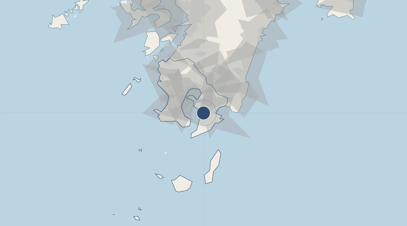
31.3667°, 130.8388°
7,382 ft
Longest runway
2
Runways
214 ft
Elevation
Runway & Layout

Radio Frequencies
ATIS
24.68 MHz
TWR
126.2 MHz
GND
23.68 MHz
APP
122.15 MHz
Navaids
JA NDB Kanoya 238 kHz
JAT TACAN Kanoya 113.80 MHz
Runways · 2
| Runway | Dimensions | Surface | True heading | Lit |
|---|---|---|---|---|
| 08R/26L | 7,382 × 148ft | Concrete | 079° | ✓ |
| 08L/26R | 3,937 × 131ft | Concrete | 079° | — |
Airport Specifications
ICAO code
RJFY
Airport class
Medium airport
Scheduled service
No
Runway surface
Concrete
Served city
Kanoya
Location
Nearby Logistics Neighbours
Airports
- 1Kagoshima Airport50 km
- 2Miyazaki Airport81 km
- 3New Tanegashima Airport86 km
- 4Yakushima Airport110 km
- 5Amakusa Airport140 km
Cities
- 1Shibushi26 km
- 2Soo33 km
- 3Kagoshima33 km
- 4Fukushima, Miyazaki38 km
- 5Aira45 km
Ports
- 1Shibushi Wan27 km
- 2Kiire28 km
- 3Kagoshima Ko35 km
- 4Minamata Ko102 km
- 5Yatsushiro Ko129 km
DatabookThe Record of Consolidated Knowledge
Japan beyond logistics?