Small airport · Japan
Amakusa AirportRJDA
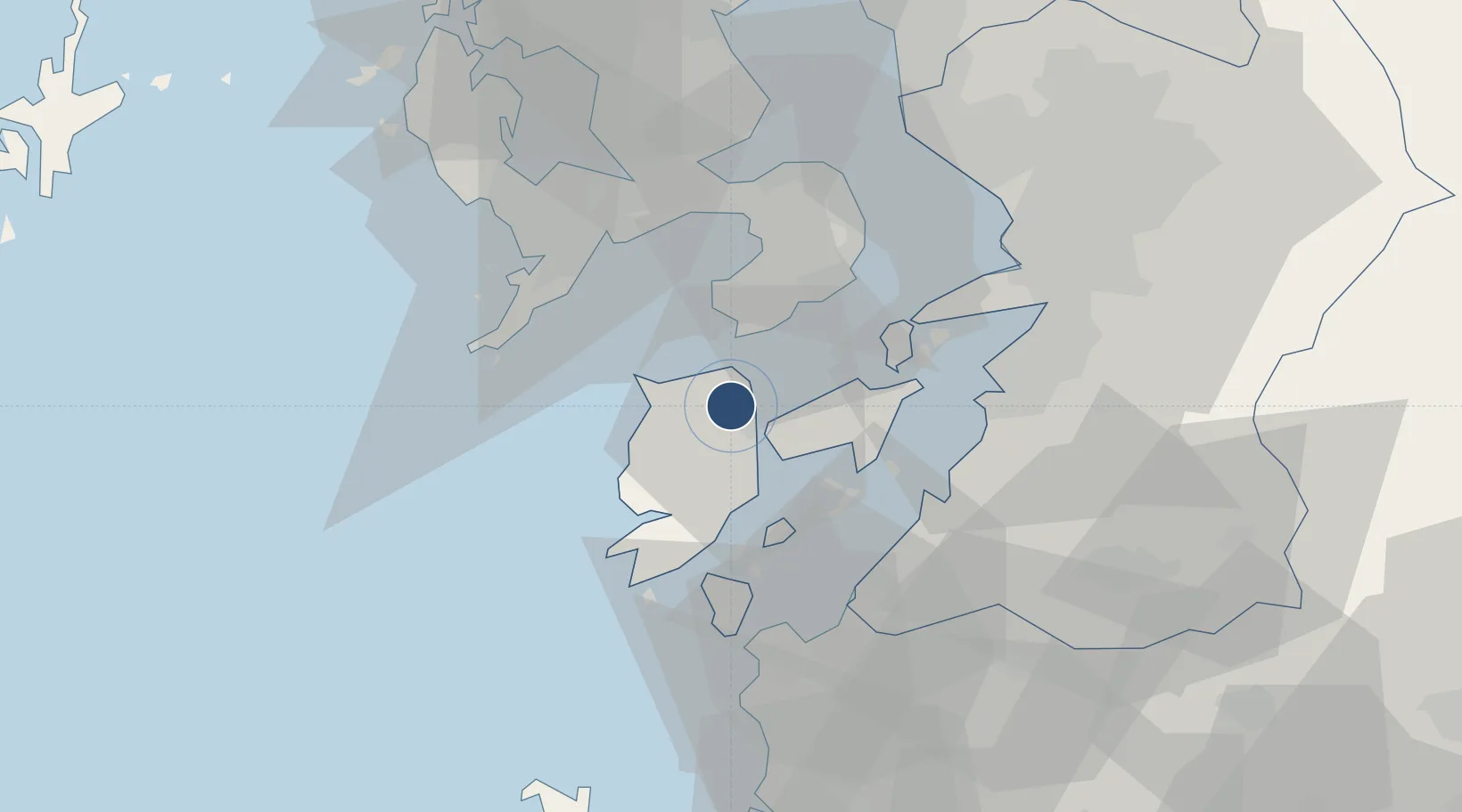
32.4825°, 130.1590°
3,281 ft
Longest runway
1
Runways
340 ft
Elevation
Runway & Layout

Radio Frequencies
A/G
130.775 MHz
AMASKA FS
Navaids
AKE VOR-DME Amakusa 113.45 MHz
Runways · 1
| Runway | Dimensions | Surface | True heading | Lit |
|---|---|---|---|---|
| 13/31 | 3,281 × 99ft | Asphalt | 124° | ✓ |
Airport Specifications
IATA code
AXJ
ICAO code
RJDA
Airport class
Small airport
Scheduled service
Yes
Runway surface
Asphalt
Served city
Amakusa
Location
Nearby Logistics Neighbours
Airports
- 1Nagasaki Airport54 km
- 2Kyushu Saga International Airport75 km
- 3Kumamoto Airport76 km
- 4Kagoshima Airport92 km
- 5Fukuoka Airport126 km
Cities
- 1Takahama/Amakusa20 km
- 2Nagasaki39 km
- 3Yatsushiro39 km
- 4Izumi48 km
- 5Kumamoto51 km
Ports
- 1Misumi Ko32 km
- 2Yatsushiro Ko35 km
- 3Minamata Ko38 km
- 4Nagasaki39 km
- 5Miike Ko62 km
DatabookThe Record of Consolidated Knowledge
Japan beyond logistics?