Transport Functions
Rail
Road
Hub Profile
Place type
Provincial seat
Region
Kagoshima
Population
76,348
Time zone
Asia/Tokyo
Elevation
76 m
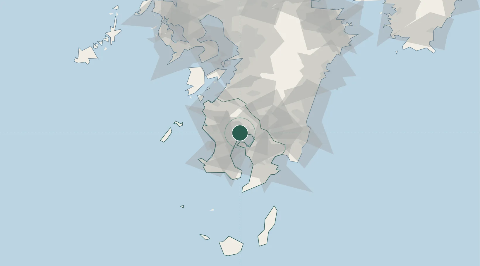
Location
Nearby Logistics Neighbours
Cities
- 1Kagoshima25 km
- 2Hioki32 km
- 3Satsumasendai33 km
- 4Ichikikushikino35 km
- 5Soo35 km
Ports
- 1Kagoshima Ko18 km
- 2Kiire40 km
- 3Shibushi Wan53 km
- 4Minamata Ko57 km
- 5Yatsushiro Ko86 km
Airports
- 1Kagoshima Airport11 km
- 2JMSDF Kanoya Air Base45 km
- 3Miyazaki Airport79 km
- 4Amakusa Airport95 km
- 5Kumamoto Airport125 km
DatabookThe Record of Consolidated Knowledge
Japan beyond logistics?