UN/LOCODE hub · Japan
JPSMW

Sumida Tokyo

35.7000°, 139.8000°
1
Transport functions

Transport Functions

Multimodal
UN/LOCODE

Hub Profile

Region
13
GeoNames

Location

Location of JPSMW
Natural Earth 10m (public domain) · 13 · JPSMW · 35.70, 139.80GoogleOSMYandex

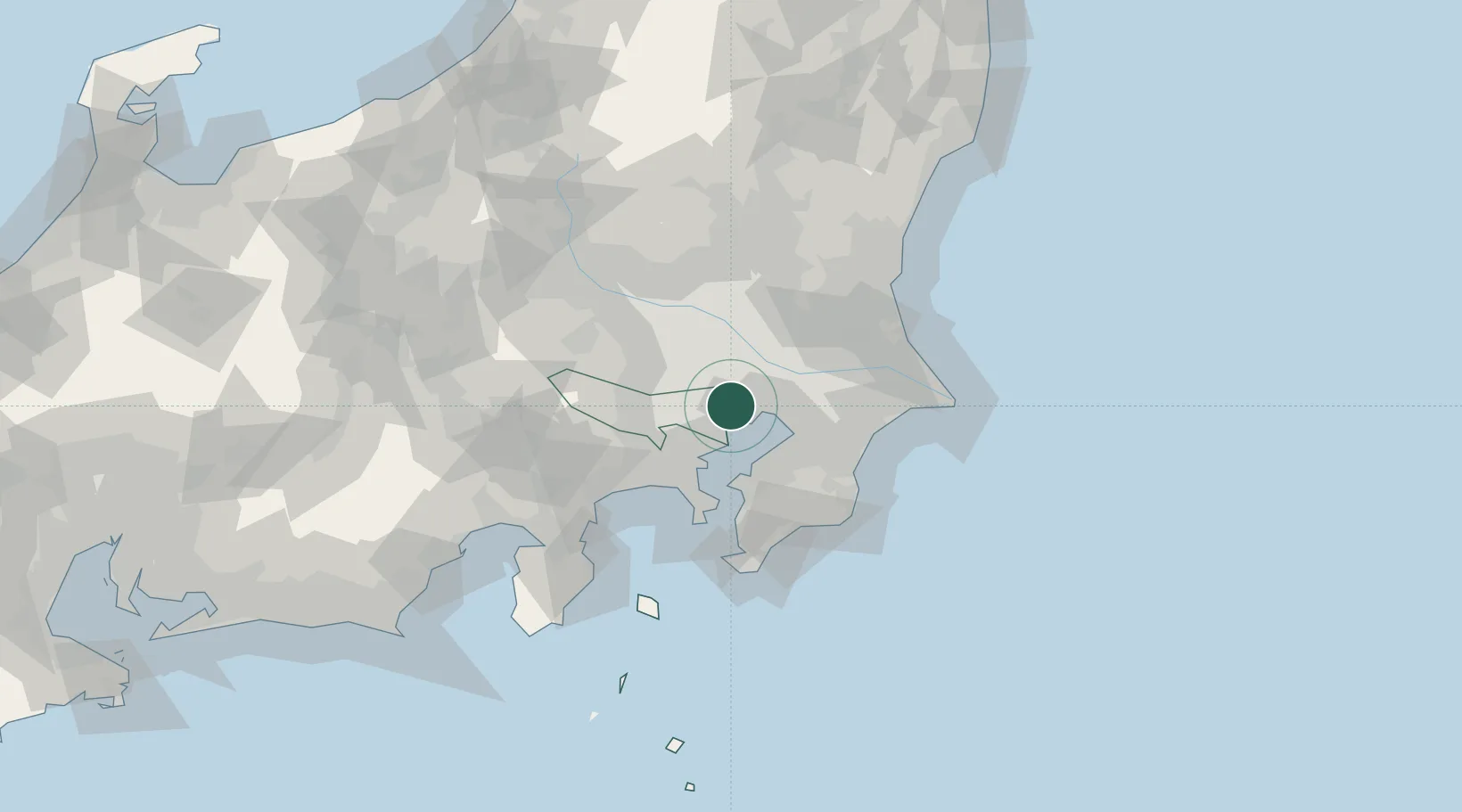
Nearby Logistics Neighbours

Cities
  1. 1Chiyoda-ku5 km
  2. 2Koto-Ku5 km
  3. 3Katsushika-Ku6 km
  4. 4Ariake, Tokyo8 km
  5. 5Shinjuku-ku8 km
Nearest neighbours — logibook spatial index (haversine) over the source coordinates
Ports
  1. 1Tokyo Ko6 km
  2. 2Funabashi14 km
  3. 3Kawasaki Ko22 km
  4. 4Chiba Ko27 km
  5. 5Yokohama Ko34 km
Nearest neighbours — logibook spatial index (haversine) over the source coordinates
Airports
  1. 1Tokyo Haneda International Airport17 km
  2. 2JMSDF Shimofusa Air Base22 km
  3. 3Chofu Airport25 km
  4. 4JGSDF Kisarazu Airfield35 km
  5. 5Iruma Air Base39 km
Nearest neighbours — logibook spatial index (haversine) over the source coordinates
DatabookThe Record of Consolidated Knowledge
Japan beyond logistics?
Browse databook

All Sources

LocationsUN/LOCODE
UN/LOCODE — free
Portsthe NGA World Port Index
Public domain (US gov)
AirportsOurAirports
Public domain
Trade Zonesthe World Bank SEZ database
CC BY 4.0
Trade ZonesOpen Zone Map
CC BY
← Japan locations