Transport Functions
Multimodal
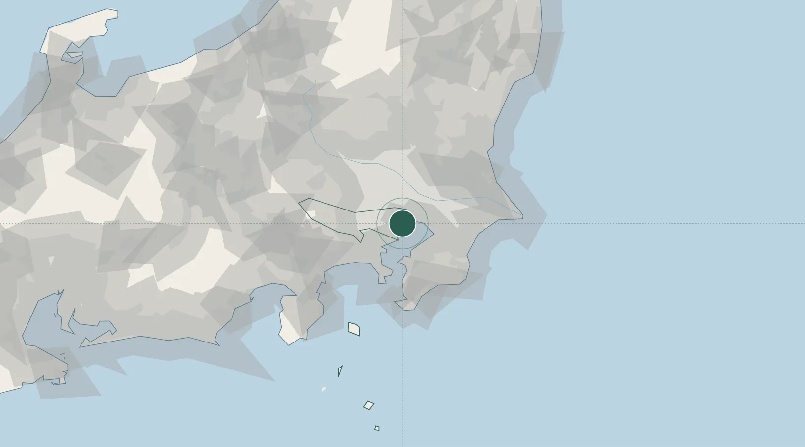
Hub Profile
Place type
Locality
Region
Kanagawa
Time zone
Asia/Tokyo
Elevation
54 m
Logistics facilities
1
Location
Nearby Logistics Neighbours
Cities
- 1Ariake, Tokyo5 km
- 2Sumida Tokyo5 km
- 3Aomi6 km
- 4Urayasu7 km
- 5Tokyo7 km
Ports
- 1Tokyo Ko7 km
- 2Funabashi11 km
- 3Kawasaki Ko18 km
- 4Chiba Ko23 km
- 5Yokohama Ko32 km
Airports
Trade Zones
DatabookThe Record of Consolidated Knowledge
Japan beyond logistics?