Transport Functions
Multimodal
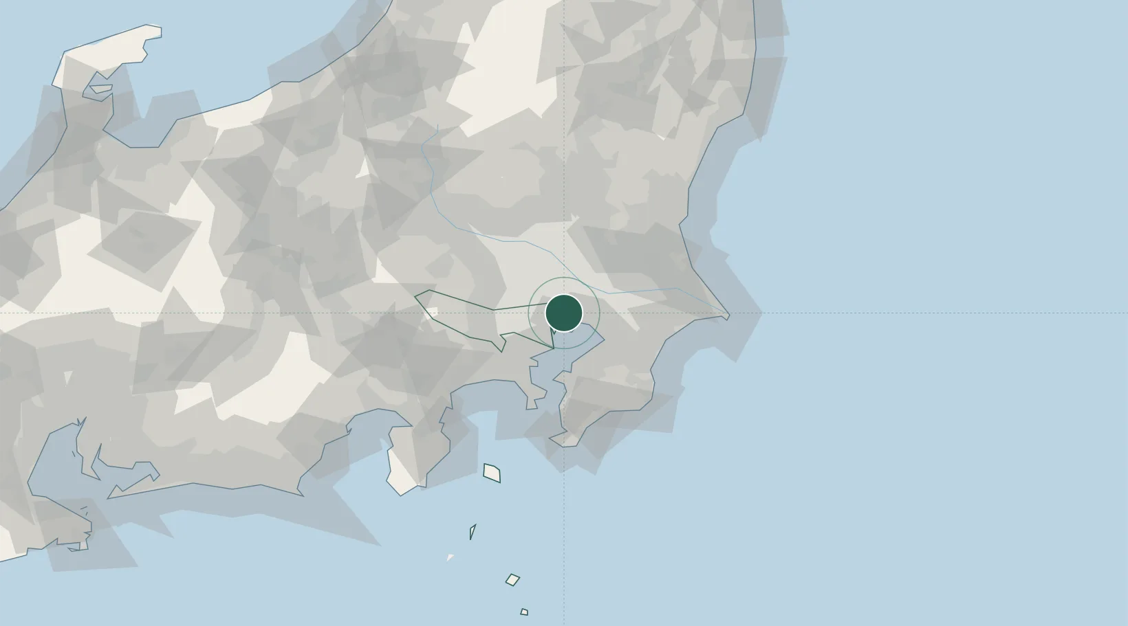
Hub Profile
Region
13
Location
Nearby Logistics Neighbours
Cities
- 1Sumida Tokyo6 km
- 2Adachi7 km
- 3Koto-Ku9 km
- 4Yashio9 km
- 5Urayasu10 km
Ports
- 1Funabashi12 km
- 2Tokyo Ko12 km
- 3Chiba Ko26 km
- 4Kawasaki Ko27 km
- 5Yokohama Ko40 km
Airports
- 1JMSDF Shimofusa Air Base16 km
- 2Tokyo Haneda International Airport21 km
- 3Chofu Airport30 km
- 4JGSDF Kisarazu Airfield38 km
- 5Iruma Air Base41 km
DatabookThe Record of Consolidated Knowledge
Japan beyond logistics?