UN/LOCODE hub · Jamaica
JMSAW
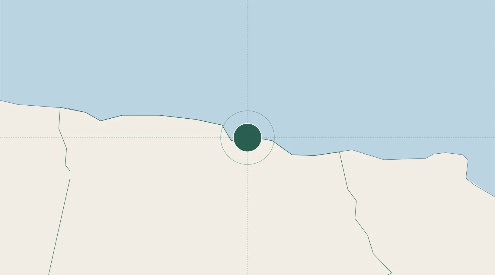
Saint Ann's Bay
18.4333°, -77.2000°
13,671
Population
1
Transport functions
Transport Functions
Port
Hub Profile
Place type
Regional capital
Region
Saint Ann Parish
Population
13,671
Time zone
America/Jamaica
Elevation
14 m
Location
Nearby Logistics Neighbours
Cities
- 1Priory3 km
- 2Oracabessa27 km
- 3Long Pond37 km
- 4Wakefield55 km
- 5Charles Town61 km
Ports
- 1Ocho Rios9 km
- 2Rio Bueno28 km
- 3Falmouth48 km
- 4Port Esquivel62 km
- 5Kingston68 km
Airports
Trade Zones
DatabookThe Record of Consolidated Knowledge
Jamaica beyond logistics?