Channel & Berth Profile
Pilotage, Tugs & Services
Pilotage compulsoryYES
Pilotage availableYES
Tug assistanceYES
Salvage tugsNO
Potable waterYES
MedicalYES
Garbage disposalNO
Facilities & Capabilities
Container—
Ro-Ro—
Liquid bulkYES
Dry bulkYES
Oil terminal—
Break bulkYES
Dry dock—
RepairsNO
Bunkering—
Rail link—
Dangerous cargo—
ISPS securityYES
Harbour Specifications
Harbour size
Very Small
Harbour type
Open Roadstead
Shelter
Fair
Water body
Caribbean Sea; North Atlantic Ocean
Tidal range
0.4 m
Overhead limit
Yes
Pilotage
Yes
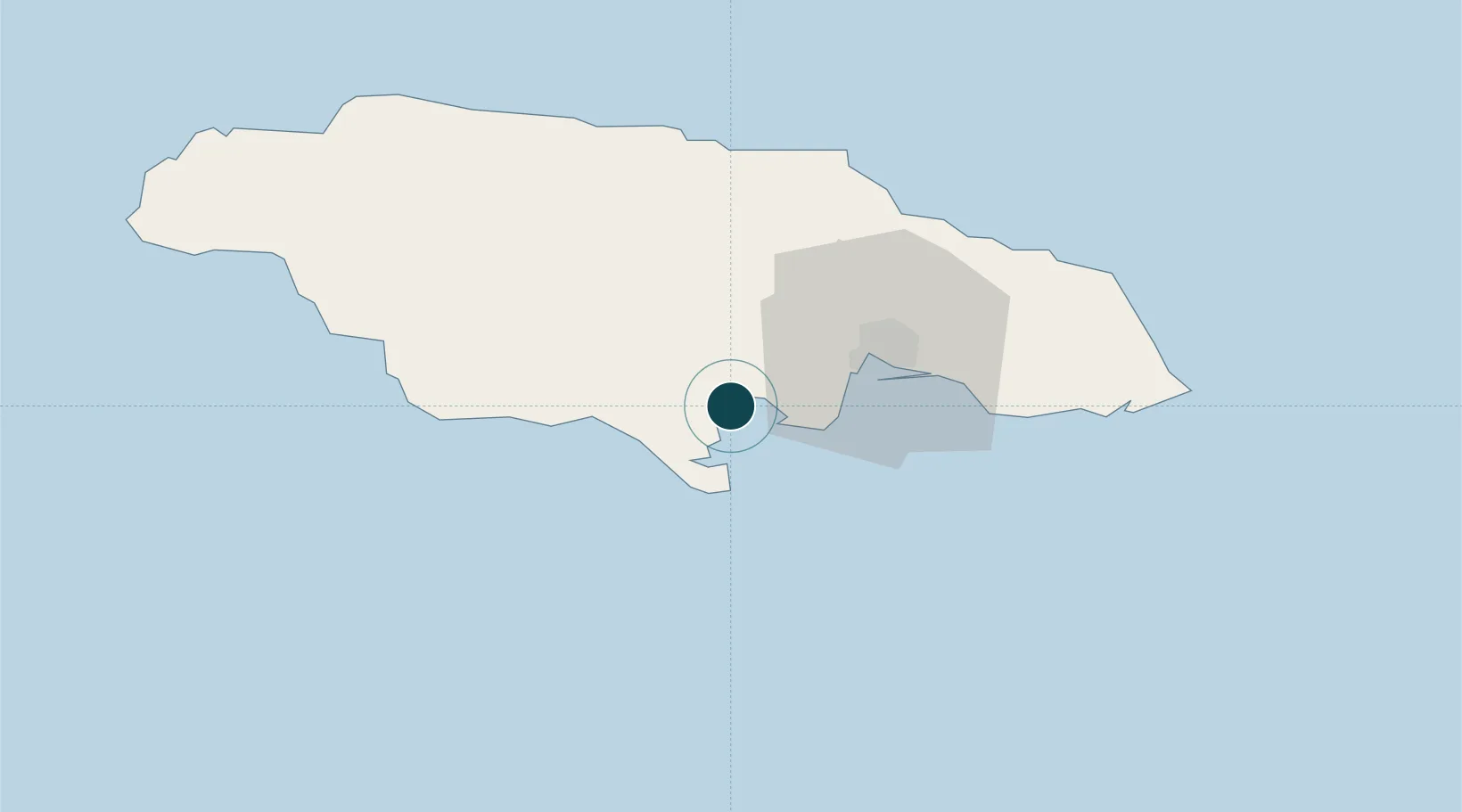
Location
Nearby Logistics Neighbours
Ports
- 1Rocky Point8 km
- 2Kingston38 km
- 3Port Kaiser49 km
- 4Ocho Rios59 km
- 5Rio Bueno74 km
Cities
- 1Port Henderson28 km
- 2Kingston34 km
- 3Vineyard40 km
- 4Rose Hall55 km
- 5Oracabessa61 km
Airports
Trade Zones
DatabookThe Record of Consolidated Knowledge
Jamaica beyond logistics?