Transport Functions
Multimodal
Hub Profile
Place type
Urban district
Region
Saint Catherine Parish
Time zone
America/Jamaica
Elevation
16 m
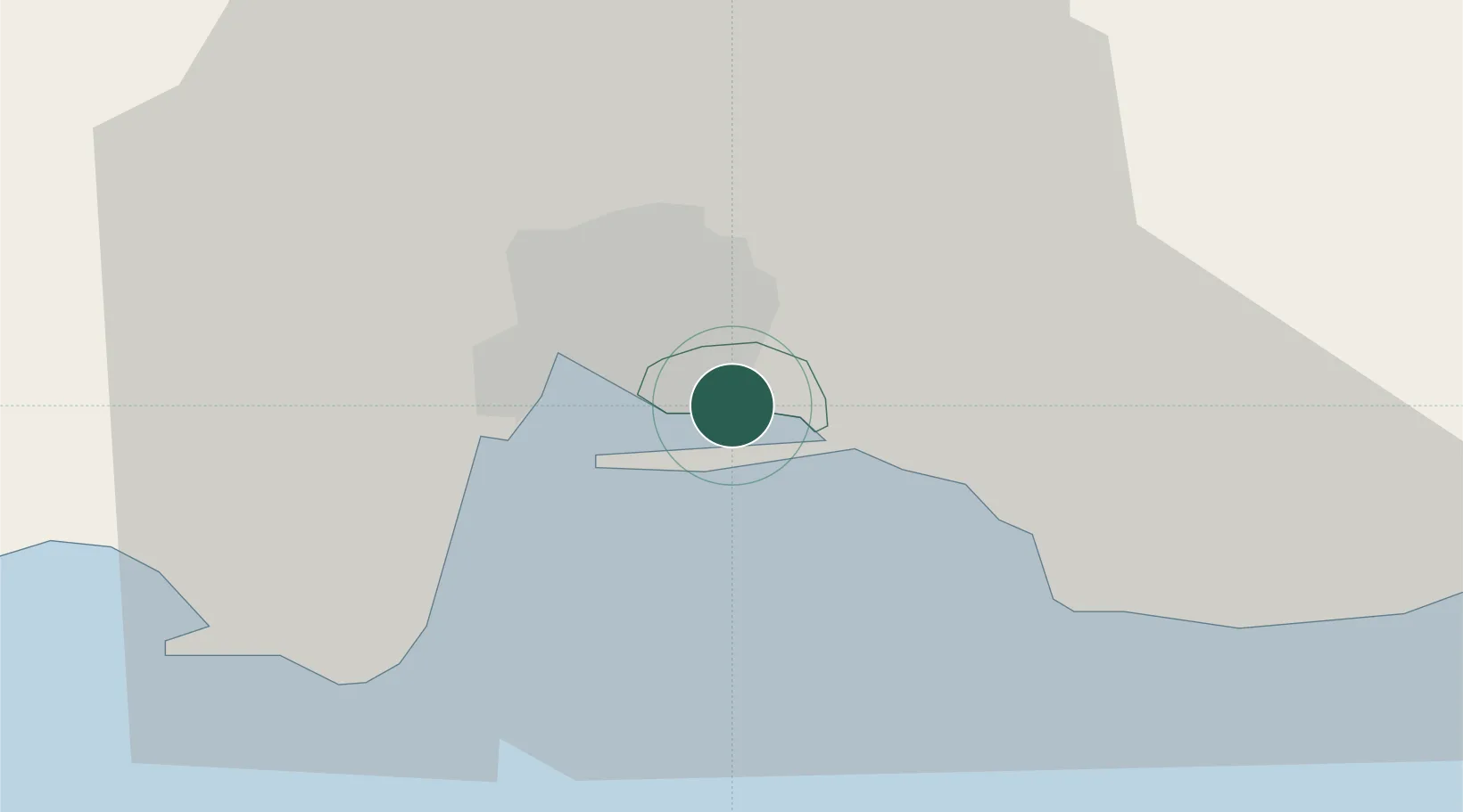
Location
Nearby Logistics Neighbours
Cities
- 1Kingston7 km
- 2Port Henderson13 km
- 3Charles Town30 km
- 4Oracabessa52 km
- 5Saint Ann's Bay69 km
Ports
- 1Kingston2 km
- 2Port Esquivel40 km
- 3Port Antonio41 km
- 4Rocky Point44 km
- 5Ocho Rios62 km
Airports
Trade Zones
DatabookThe Record of Consolidated Knowledge
Jamaica beyond logistics?