Diversified Zone · Jamaica

Caymanas Special Economic Zone Under Development
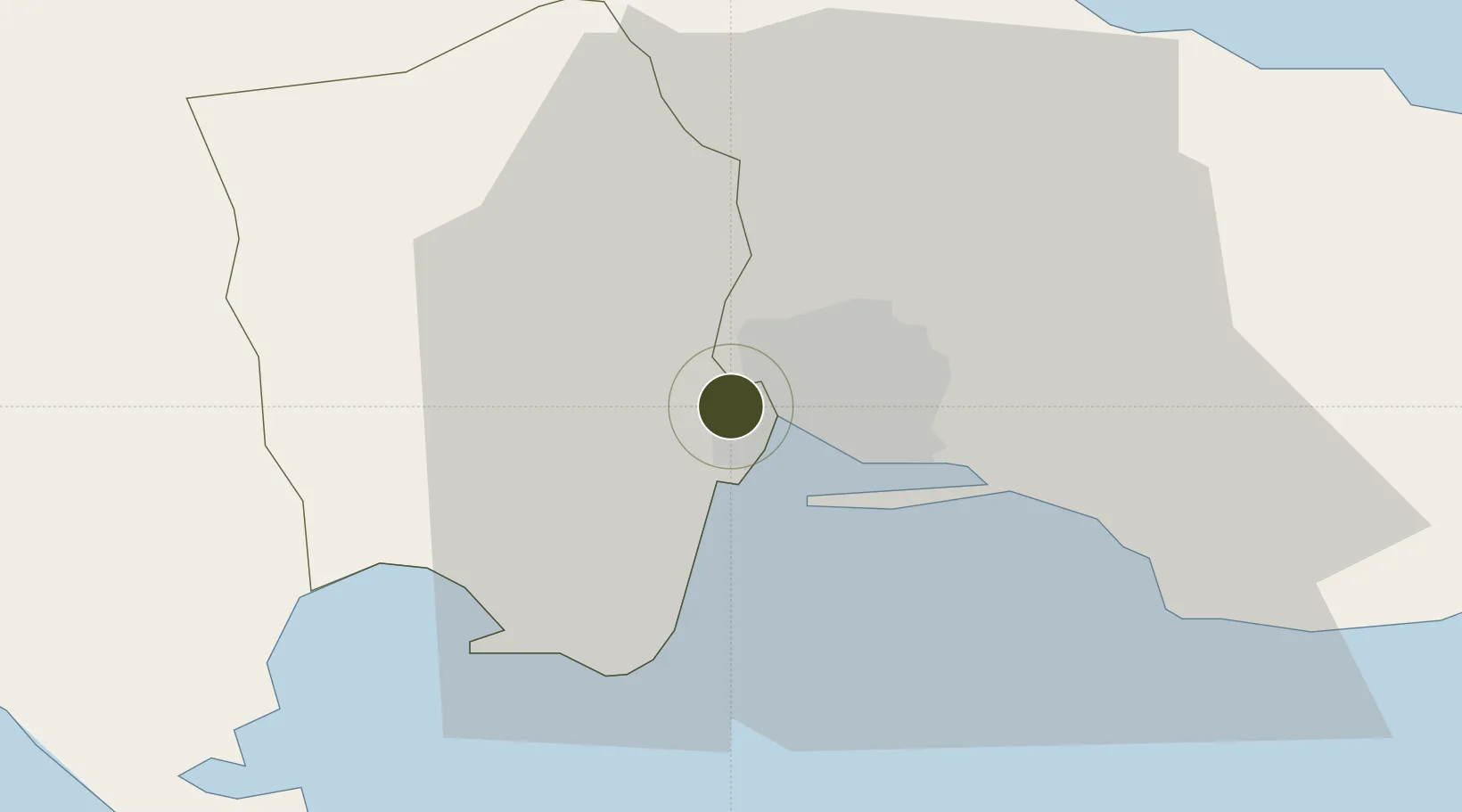
17.9977°, -76.8786°
485 ha
Zone area
10.6 km
Nearest port
5.9 km
Nearest airport

Gateway access

Nearest neighbours — logibook spatial index (haversine) over the source coordinates

Zone profile

Zone type
Diversified Zone
Open Zone Map
Region
Saint Catherine
Open Zone Map
Status
Under Development
Open Zone Map
Management
Private
Open Zone Map
Operator
International Development Group, LLC.
Open Zone Map
Legal framework
Special Economic Zones Act (2016)
Open Zone Map

Location

Location of ozm-2545
Natural Earth 10m (public domain) · Saint Catherine · ozm-2545 · 18.00, -76.88GoogleOSMYandex

Nearby Logistics Neighbours

Ports
  1. 1Kingston11 km
  2. 2Port Esquivel30 km
  3. 3Rocky Point35 km
  4. 4Port Antonio50 km
  5. 5Ocho Rios53 km
Nearest neighbours — logibook spatial index (haversine) over the source coordinates
Airports
  1. 1Tinson Pen Airport6 km
  2. 2Norman Manley International Airport12 km
  3. 3Ken Jones Airport43 km
  4. 4Ian Fleming International Airport46 km
  5. 5Sangster International Airport123 km
Nearest neighbours — logibook spatial index (haversine) over the source coordinates
Cities
  1. 1Kingston5 km
  2. 2Port Henderson5 km
  3. 3Vineyard12 km
  4. 4Charles Town33 km
  5. 5Oracabessa45 km
Nearest neighbours — logibook spatial index (haversine) over the source coordinates
Trade Zones
  1. 1Portmore Informatics Park Free Zone4 km
  2. 2Kingston Free Zone5 km
  3. 3Kingston Wharves Terminal Special Economic Zone6 km
  4. 4Garmex Free Zone8 km
  5. 558 HWT Tech Park9 km
Nearest neighbours — logibook spatial index (haversine) over the source coordinates
DatabookThe Record of Consolidated Knowledge
Jamaica beyond logistics?
Browse databook

All Sources

Trade ZonesOpen Zone Map
CC BY
Portsthe NGA World Port Index
Public domain (US gov)
AirportsOurAirports
Public domain
LocationsUN/LOCODE
UN/LOCODE — free
← Jamaica trade zones