Transport Functions
Port
Hub Profile
Place type
Populated place
Region
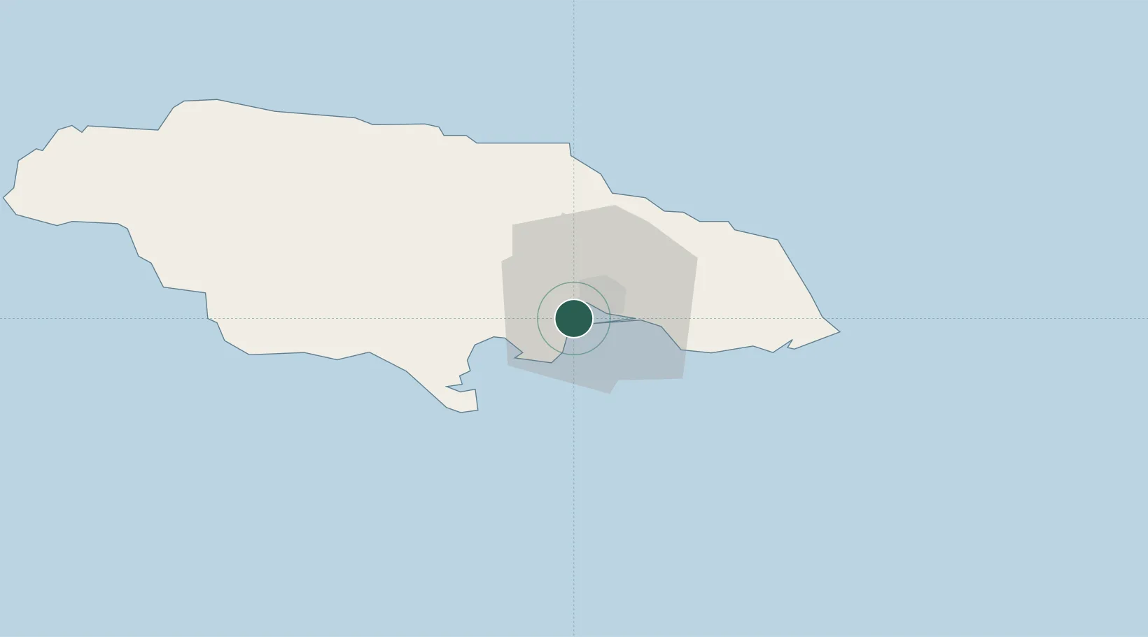
Saint Catherine Parish
Time zone
America/Jamaica
Elevation
2 m
Location
Nearby Logistics Neighbours
Cities
- 1Kingston7 km
- 2Vineyard13 km
- 3Charles Town38 km
- 4Oracabessa51 km
- 5Saint Ann's Bay63 km
Ports
- 1Kingston11 km
- 2Port Esquivel28 km
- 3Rocky Point32 km
- 4Port Antonio53 km
- 5Ocho Rios57 km
Airports
DatabookThe Record of Consolidated Knowledge
Jamaica beyond logistics?