UN/LOCODE hub · Jamaica
JMKIN
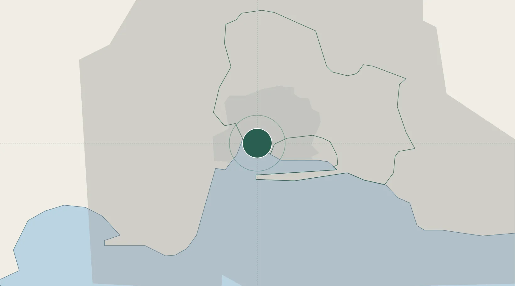
Kingston
17.9862°, -76.8304°
937,700
Population
3
Transport functions
2
Container terminals
Transport Functions
Port
Airport
Postal
Hub Profile
Place type
National capital
Region
Kingston
Population
937,700
Time zone
America/Jamaica
Elevation
65 m
Logistics facilities
5
Container terminals
2
Location
Nearby Logistics Neighbours
Cities
- 1Port Henderson7 km
- 2Vineyard7 km
- 3Charles Town31 km
- 4Oracabessa48 km
- 5Saint Ann's Bay63 km
Ports
- 1Port Esquivel34 km
- 2Rocky Point39 km
- 3Port Antonio46 km
- 4Ocho Rios57 km
- 5Port Kaiser83 km
Airports
Trade Zones
DatabookThe Record of Consolidated Knowledge
Jamaica beyond logistics?