Specialized Zone · Jamaica

Portmore Informatics Park Free Zone Active
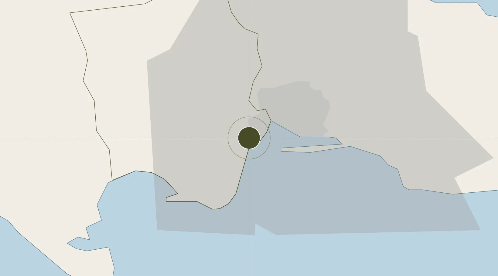
17.9611°, -76.8894°
2 ha
Zone area
11.2 km
Nearest port
7.6 km
Nearest airport

Gateway access

Nearest neighbours — logibook spatial index (haversine) over the source coordinates

Zone profile

Zone type
Specialized Zone
Open Zone Map
Specialization
Tech
Open Zone Map
Region
Saint Catherine
Open Zone Map
Status
Active
Open Zone Map
Management
Public
Open Zone Map
Operator
Kingston Free Zone Authority
Open Zone Map
Legal framework
Special Economic Zones Act (2016)
Open Zone Map

Location

Location of ozm-2554
Natural Earth 10m (public domain) · Saint Catherine · ozm-2554 · 17.96, -76.89GoogleOSMYandex

Nearby Logistics Neighbours

Ports
  1. 1Kingston11 km
  2. 2Port Esquivel27 km
  3. 3Rocky Point32 km
  4. 4Port Antonio53 km
  5. 5Ocho Rios56 km
Nearest neighbours — logibook spatial index (haversine) over the source coordinates
Airports
  1. 1Tinson Pen Airport8 km
  2. 2Norman Manley International Airport11 km
  3. 3Ken Jones Airport46 km
  4. 4Ian Fleming International Airport50 km
  5. 5Sangster International Airport124 km
Nearest neighbours — logibook spatial index (haversine) over the source coordinates
Cities
  1. 1Port Henderson1 km
  2. 2Kingston7 km
  3. 3Vineyard13 km
  4. 4Charles Town37 km
  5. 5Oracabessa49 km
Nearest neighbours — logibook spatial index (haversine) over the source coordinates
Trade Zones
  1. 1Caymanas Special Economic Zone4 km
  2. 2Kingston Free Zone7 km
  3. 3Kingston Wharves Terminal Special Economic Zone7 km
  4. 4Garmex Free Zone8 km
  5. 5Spanish Town Free Zone10 km
Nearest neighbours — logibook spatial index (haversine) over the source coordinates
DatabookThe Record of Consolidated Knowledge
Jamaica beyond logistics?
Browse databook

All Sources

Trade ZonesOpen Zone Map
CC BY
Portsthe NGA World Port Index
Public domain (US gov)
AirportsOurAirports
Public domain
LocationsUN/LOCODE
UN/LOCODE — free
← Jamaica trade zones