Transport Functions
Port
Hub Profile
Place type
Populated place
Region
Saint Mary Parish
Population
4,100
Time zone
America/Jamaica
Elevation
42 m
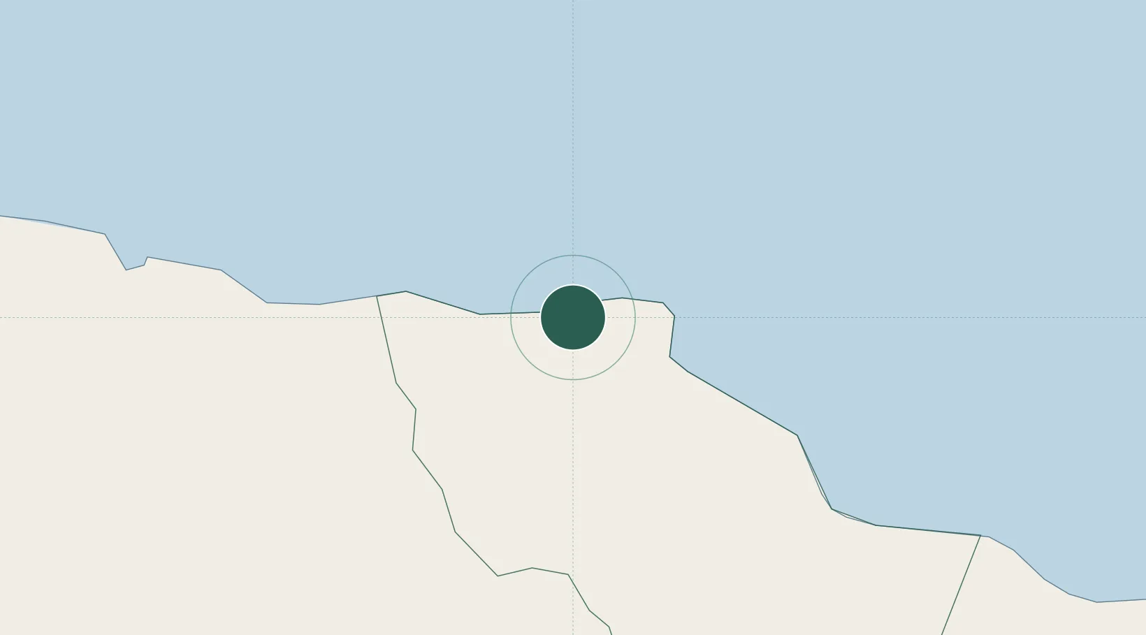
Location
Nearby Logistics Neighbours
Cities
- 1Saint Ann's Bay27 km
- 2Priory29 km
- 3Charles Town36 km
- 4Kingston48 km
- 5Port Henderson51 km
Ports
- 1Ocho Rios18 km
- 2Kingston51 km
- 3Rio Bueno55 km
- 4Port Antonio58 km
- 5Port Esquivel61 km
Airports
Trade Zones
DatabookThe Record of Consolidated Knowledge
Jamaica beyond logistics?