Seaport · Jamaica
KingstonJMKIN
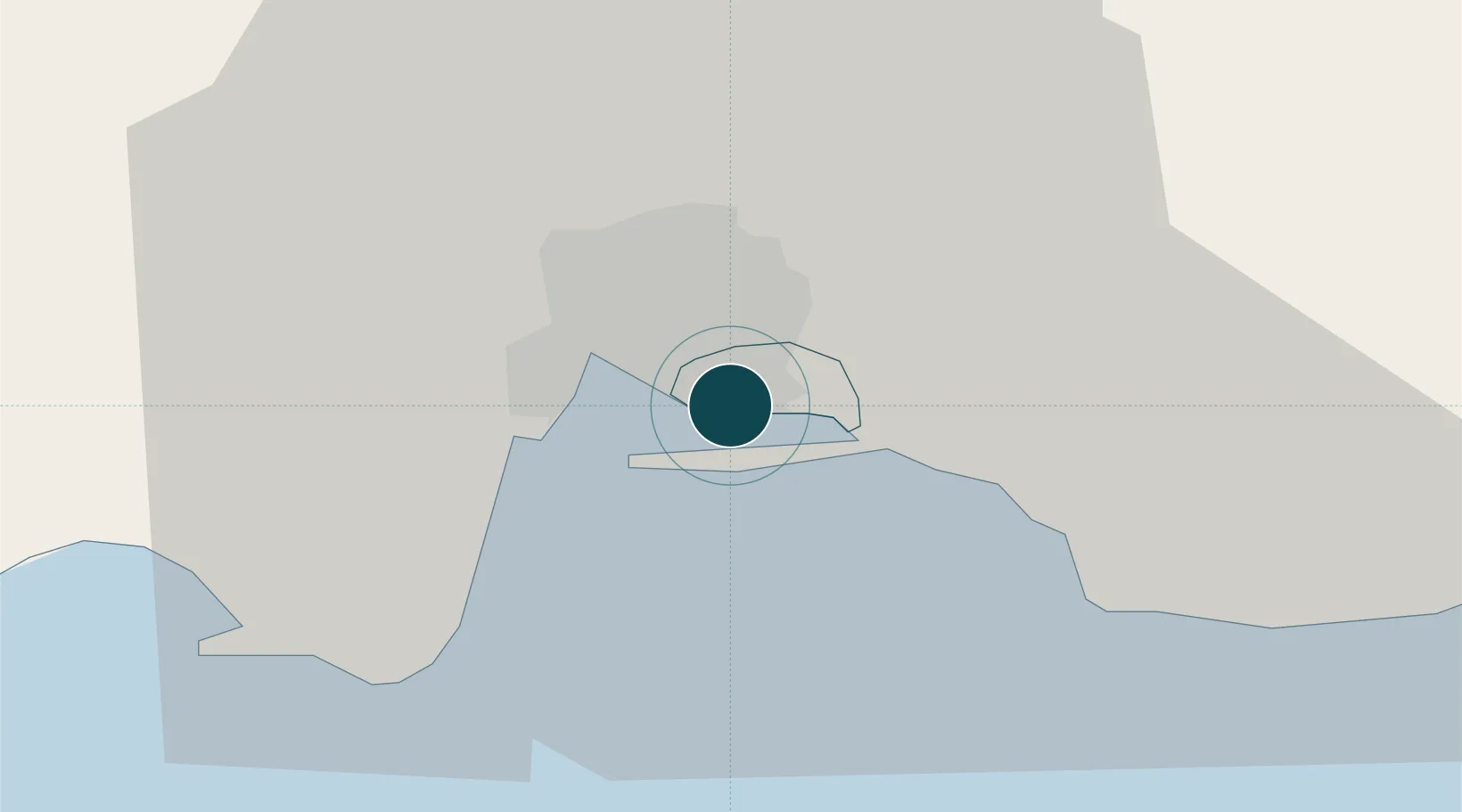
17.9667°, -76.7833°
17.1 m
Channel depth
2
Container terminals
292.8
Port liner connectivity
Channel & Berth Profile
Pilotage, Tugs & Services
Pilotage compulsoryYES
Pilotage availableYES
Pilotage advisableYES
Local assistanceYES
Tug assistanceYES
Salvage tugsNO
Shore powerYES
Potable waterYES
MedicalYES
Garbage disposalNO
Facilities & Capabilities
ContainerYES
Ro-RoYES
Liquid bulkYES
Dry bulkYES
Oil terminal—
Break bulkYES
Dry dockNO
RepairsNO
BunkeringYES
Rail link—
Dangerous cargo—
ISPS securityYES
Harbour Specifications
Harbour size
Medium
Harbour type
Coastal (Natural)
Shelter
Excellent
Water body
Caribbean Sea; North Atlantic Ocean
Tidal range
0.3 m
Overhead limit
No
Pilotage
Yes
Liner Connectivity
292.8
PLSCI
Port Liner Shipping Connectivity Index for Kingston, as published by UNCTAD for the latest available quarter. Higher values indicate stronger scheduled liner-shipping integration.
Shown relative to the highest per-port PLSCI in the dataset (1,657.9).
Location
Container Terminals · 2
KINGSTON CONTAINER TERMINAL
KCT KINGSTON FREEPORT TERMINAL LIMITED (KFTL)
KINGSTON WHARVES
KWL KINGSTON WHARVES LIMITED
Nearby Logistics Neighbours
Ports
- 1Port Esquivel38 km
- 2Rocky Point42 km
- 3Port Antonio43 km
- 4Ocho Rios61 km
- 5Port Kaiser87 km
Cities
- 1Vineyard2 km
- 2Port Henderson11 km
- 3Charles Town30 km
- 4Oracabessa51 km
- 5Saint Ann's Bay68 km
Airports
Trade Zones
DatabookThe Record of Consolidated Knowledge
Jamaica beyond logistics?