Seaport · Iceland

OlafsfjordurISOLF

66.0667°, -18.6500°
7.0 m
Channel depth

Channel & Berth Profile

SEA LEVEL (CD)CHANNEL BEDChannel · 7.0 mAnchorage · 9.0 m
NGA World Port Index

Facilities & Capabilities

Container
Ro-Ro
Liquid bulk
Dry bulk
Oil terminal
Break bulk
Dry dock
Repairs
Bunkering
Rail link
Dangerous cargo
ISPS security
NGA World Port Index

Harbour Specifications
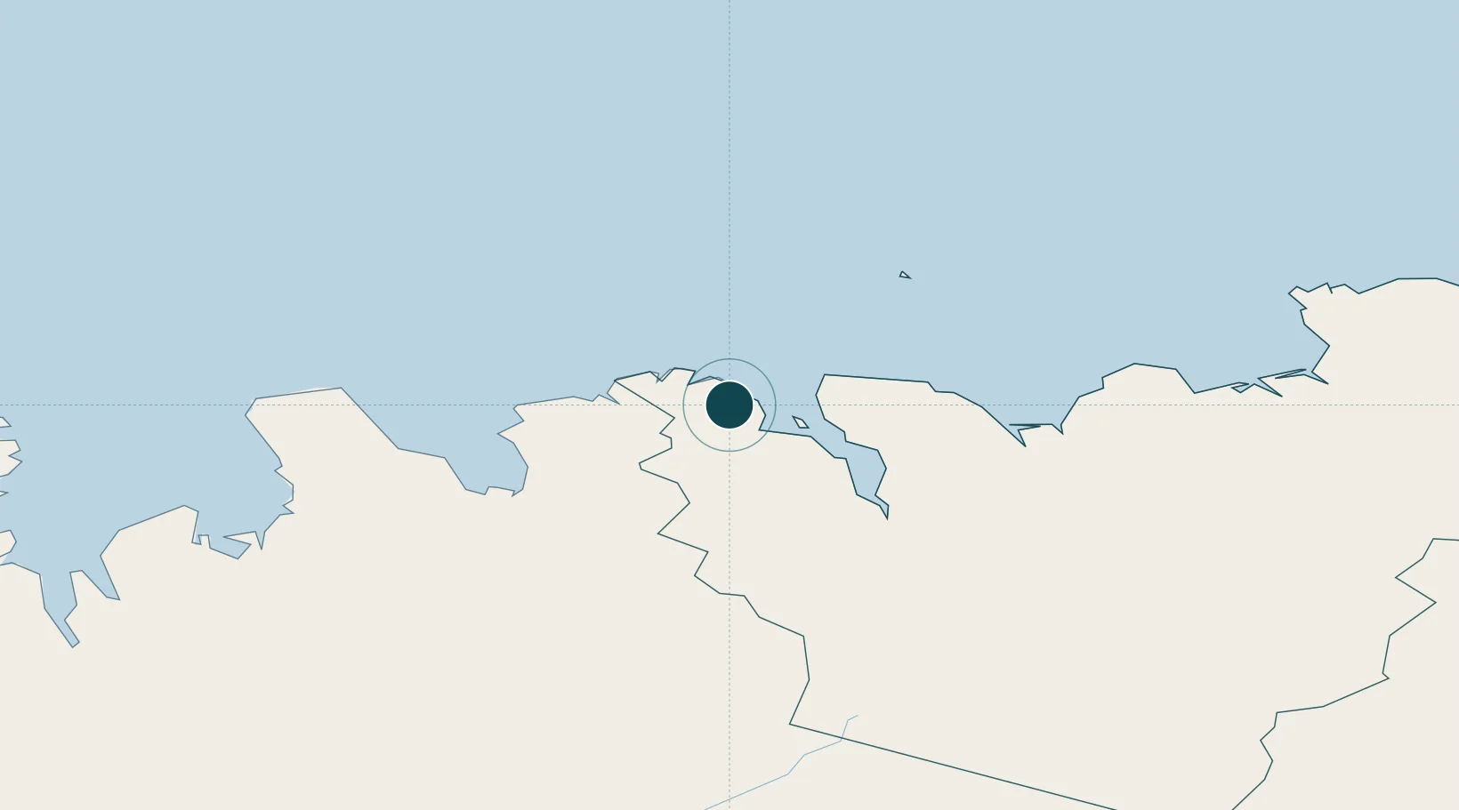
Water body
Greenland Sea; Arctic Ocean
NGA World Port Index

Location

Location of ISOLF
Natural Earth 10m (public domain) · Norðurland eystra · ISOLF · 66.07, -18.65GoogleOSMYandex

Nearby Logistics Neighbours

Ports
  1. 1Dalvik11 km
  2. 2Siglufjorhurd15 km
  3. 3Grenivik25 km
  4. 4Akureyri50 km
  5. 5Saudarkrokur58 km
Nearest neighbours — logibook spatial index (haversine) over the source coordinates
Cities
  1. 1Dalvík12 km
  2. 2Arskogssandur20 km
  3. 3Grenivík25 km
  4. 4Hofsós40 km
  5. 5Akureyri50 km
Nearest neighbours — logibook spatial index (haversine) over the source coordinates
Airports
  1. 1Siglufjörður Airport14 km
  2. 2Akureyri International Airport53 km
  3. 3Húsavík Airport57 km
  4. 4Grímsey Airport60 km
  5. 5Mývatn Airport91 km
Nearest neighbours — logibook spatial index (haversine) over the source coordinates
Trade Zones
  1. 1Prestwick Airport Free Zone1392 km
  2. 2Carlisle Kingmoor Park Enterprise Zone1497 km
  3. 3Isle of Man Free Zone and Business Park1534 km
  4. 4Dublin International Financial Services Centre1569 km
  5. 5Shannon Free Zone1581 km
Nearest neighbours — logibook spatial index (haversine) over the source coordinates
DatabookThe Record of Consolidated Knowledge
Iceland beyond logistics?
Browse databook

All Sources

Portsthe NGA World Port Index
Public domain (US gov)
AirportsOurAirports
Public domain
LocationsUN/LOCODE
UN/LOCODE — free
Trade Zonesthe World Bank SEZ database
CC BY 4.0
Trade ZonesOpen Zone Map
CC BY
← Iceland ports