Seaport · Iceland

AkureyriISAKU

65.6833°, -18.0833°
47.0 m
Channel depth
12.3
Port liner connectivity
Akureyri is also a UN/LOCODE logistics hub →

Channel & Berth Profile

SEA LEVEL (CD)CHANNEL BEDCargo pier · 11.0 mAnchorage · 25.0 mChannel · 47.0 m
NGA World Port Index

Pilotage, Tugs & Services

Pilotage compulsoryYES
Pilotage availableYES
Tug assistanceYES
Salvage tugsNO
Potable waterYES
Diesel bunkersYES
MedicalYES
Garbage disposalYES
NGA World Port Index

Facilities & Capabilities

ContainerYES
Ro-Ro
Liquid bulkYES
Dry bulkYES
Oil terminal
Break bulkYES
Dry dockNO
RepairsNO
BunkeringYES
Rail link
Dangerous cargo
ISPS securityYES
NGA World Port Index

Harbour Specifications

Harbour size
Very Small
NGA World Port Index
Harbour type
Coastal (Natural)
NGA World Port Index
Shelter
Fair
NGA World Port Index
Water body
Greenland Sea; Arctic Ocean
NGA World Port Index
Tidal range
1.5 m
NGA World Port Index
Overhead limit
No
NGA World Port Index
Pilotage
Yes
NGA World Port Index

Liner Connectivity

12.3
PLSCI

Port Liner Shipping Connectivity Index for Akureyri, as published by UNCTAD for the latest available quarter. Higher values indicate stronger scheduled liner-shipping integration.

Shown relative to the highest per-port PLSCI in the dataset (1,657.9).
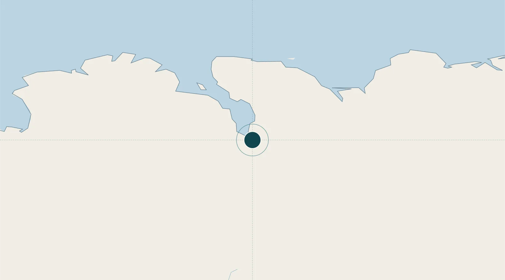
UNCTAD · Port Liner Shipping Connectivity Index

Location

Location of ISAKU
Natural Earth 10m (public domain) · Norðurland eystra · ISAKU · 65.68, -18.08GoogleOSMYandex

Nearby Logistics Neighbours

Ports
  1. 1Grenivik30 km
  2. 2Dalvik39 km
  3. 3Olafsfjordur50 km
  4. 4Husavik52 km
  5. 5Siglufjorhurd64 km
Nearest neighbours — logibook spatial index (haversine) over the source coordinates
Cities
  1. 1Grenivík30 km
  2. 2Arskogssandur31 km
  3. 3Dalvík38 km
  4. 4Hofsós66 km
  5. 5Skagaströnd103 km
Nearest neighbours — logibook spatial index (haversine) over the source coordinates
Airports
  1. 1Akureyri International Airport3 km
  2. 2Húsavík Airport42 km
  3. 3Mývatn Airport54 km
  4. 4Siglufjörður Airport63 km
  5. 5Grímsey Airport96 km
Nearest neighbours — logibook spatial index (haversine) over the source coordinates
Trade Zones
  1. 1Prestwick Airport Free Zone1343 km
  2. 2Carlisle Kingmoor Park Enterprise Zone1449 km
  3. 3Isle of Man Free Zone and Business Park1485 km
  4. 4Dublin International Financial Services Centre1519 km
  5. 5Shannon Free Zone1532 km
Nearest neighbours — logibook spatial index (haversine) over the source coordinates
DatabookThe Record of Consolidated Knowledge
Iceland beyond logistics?
Browse databook

All Sources

Portsthe NGA World Port Index
Public domain (US gov)
Logistics performanceUNCTAD
CC BY 3.0 IGO
AirportsOurAirports
Public domain
LocationsUN/LOCODE
UN/LOCODE — free
Trade Zonesthe World Bank SEZ database
CC BY 4.0
Trade ZonesOpen Zone Map
CC BY
← Iceland ports