UN/LOCODE hub · India
INSIK

Sika

22.4333°, 69.8333°
3
Transport functions

Transport Functions

Port
Rail
Road
UN/LOCODE

Hub Profile

Place type
Populated place
GeoNames
Region
Madhya Pradesh
GeoNames
Time zone
Asia/Kolkata
GeoNames
Elevation
472 m
GeoNames

Location

Location of INSIK
Natural Earth 10m (public domain) · Madhya Pradesh · INSIK · 22.43, 69.83GoogleOSMYandex

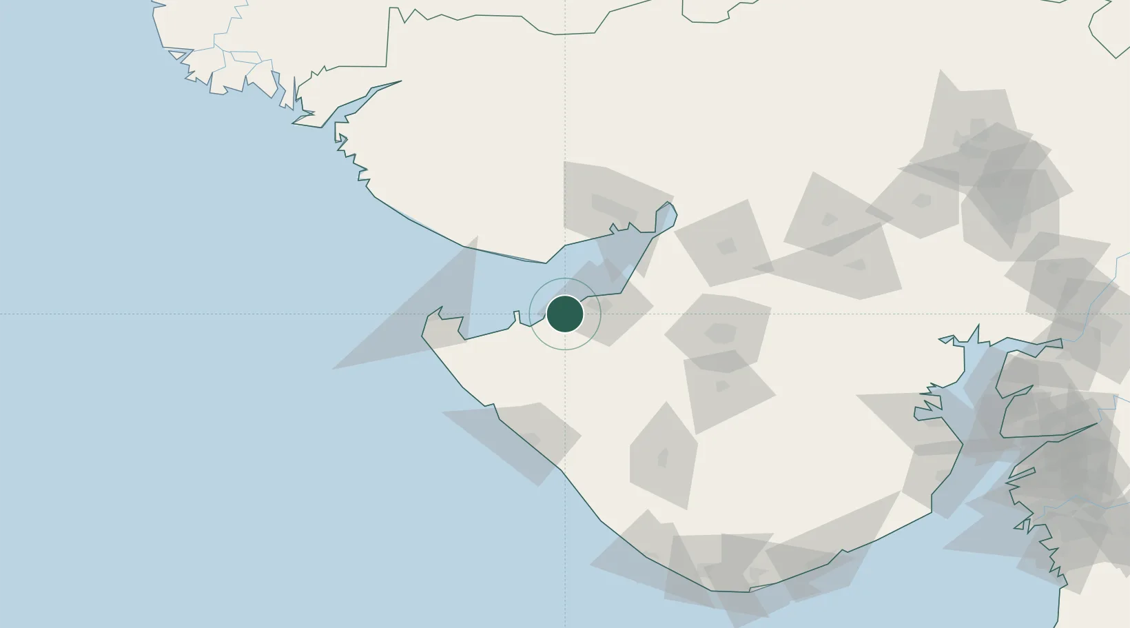
Nearby Logistics Neighbours

Cities
  1. 1Reliance SEZ/Jamnagar24 km
  2. 2Rozi25 km
  3. 3Mundra Port SEZ38 km
  4. 4Mundra45 km
  5. 5Jodhpur65 km
Nearest neighbours — logibook spatial index (haversine) over the source coordinates
Ports
  1. 1Sikka0 km
  2. 2Vadinar Terminal18 km
  3. 3Bedi27 km
  4. 4Mundra35 km
  5. 5Mandvi67 km
Nearest neighbours — logibook spatial index (haversine) over the source coordinates
Airports
  1. 1Jamnagar Airport19 km
  2. 2Kandla Airport80 km
  3. 3Porbandar Airport89 km
  4. 4Bhuj Airport97 km
  5. 5Rajkot Airport98 km
Nearest neighbours — logibook spatial index (haversine) over the source coordinates
Trade Zones
  1. 1Reliance Jamnagar Infrastructure Ltd.23 km
  2. 2Adani Mundra Port37 km
  3. 3Ganesh Infrastructure Pvt. Ltd.47 km
  4. 4Kandla Special Economic Zone73 km
  5. 5Kandla Special Economic Zone74 km
Nearest neighbours — logibook spatial index (haversine) over the source coordinates
DatabookThe Record of Consolidated Knowledge
India beyond logistics?
Browse databook

All Sources

LocationsUN/LOCODE
UN/LOCODE — free
Portsthe NGA World Port Index
Public domain (US gov)
AirportsOurAirports
Public domain
Trade Zonesthe World Bank SEZ database
CC BY 4.0
Trade ZonesOpen Zone Map
CC BY
← India locations