Specialized Zone · India

Ganesh Infrastructure Pvt. Ltd. Active
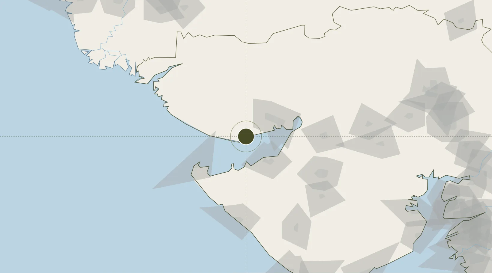
22.8399°, 69.7258°
33 ha
Zone area
12.6 km
Nearest port
48.9 km
Nearest airport

Gateway access

Nearest neighbours — logibook spatial index (haversine) over the source coordinates

Zone profile

Zone type
Specialized Zone
Open Zone Map
Specialization
Manufacturing
Open Zone Map
Region
Gujarat
Open Zone Map
Status
Active
Open Zone Map
Management
Private
Open Zone Map
Operator
Shree Ganesh Laxmi Infrastructure Private Limited
Open Zone Map
Legal framework
Gujarat Special Economic Zone ACT, 2004., The Special Economic Zones Act, 2005
Open Zone Map

Location

Location of ozm-2281
Natural Earth 10m (public domain) · Gujarat · ozm-2281 · 22.84, 69.73GoogleOSMYandex

Nearby Logistics Neighbours

Ports
  1. 1Mundra13 km
  2. 2Mandvi39 km
  3. 3Vadinar Terminal42 km
  4. 4Bedi44 km
  5. 5Sikka47 km
Nearest neighbours — logibook spatial index (haversine) over the source coordinates
Airports
  1. 1Kandla Airport49 km
  2. 2Bhuj Airport50 km
  3. 3Jamnagar Airport51 km
  4. 4Rajkot Airport123 km
  5. 5Porbandar Airport133 km
Nearest neighbours — logibook spatial index (haversine) over the source coordinates
Cities
  1. 1Mundra4 km
  2. 2Mundra Port SEZ11 km
  3. 3Måndvi37 km
  4. 4Rozi44 km
  5. 5Welspun Anjar-SEZ/Anjar44 km
Nearest neighbours — logibook spatial index (haversine) over the source coordinates
Trade Zones
  1. 1Adani Mundra Port11 km
  2. 2Kandla Special Economic Zone46 km
  3. 3Kandla Special Economic Zone47 km
  4. 4Reliance Jamnagar Infrastructure Ltd.52 km
  5. 5Euro Multivision Pvt. Ltd.68 km
Nearest neighbours — logibook spatial index (haversine) over the source coordinates
DatabookThe Record of Consolidated Knowledge
India beyond logistics?
Browse databook

All Sources

Trade ZonesOpen Zone Map
CC BY
Portsthe NGA World Port Index
Public domain (US gov)
AirportsOurAirports
Public domain
LocationsUN/LOCODE
UN/LOCODE — free
← India trade zones