Channel & Berth Profile
Pilotage, Tugs & Services
Pilotage compulsoryYES
Pilotage availableYES
Pilotage advisableYES
Tug assistanceYES
Salvage tugsYES
Potable waterYES
MedicalYES
Garbage disposalNO
Facilities & Capabilities
Container—
Ro-RoYES
Liquid bulkYES
Dry bulk—
Oil terminalYES
Break bulk—
Dry dock—
RepairsNO
Bunkering—
Rail link—
Dangerous cargo—
ISPS security—
Harbour Specifications
Harbour size
Very Small
Harbour type
Open Roadstead
Shelter
Poor
Water body
Arabian Sea; Indian Ocean
Tidal range
6 m
Overhead limit
No
Pilotage
Yes
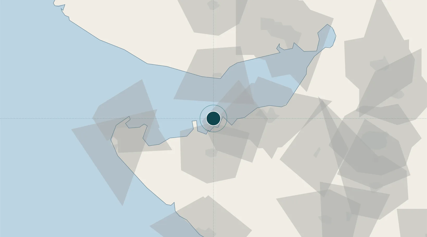
Location
Nearby Logistics Neighbours
Cities
- 1Sika18 km
- 2Mundra Port SEZ32 km
- 3Mundra39 km
- 4Rozi39 km
- 5Reliance SEZ/Jamnagar41 km
Airports
- 1Jamnagar Airport36 km
- 2Kandla Airport85 km
- 3Porbandar Airport91 km
- 4Bhuj Airport91 km
- 5Rajkot Airport116 km
Trade Zones
DatabookThe Record of Consolidated Knowledge
India beyond logistics?