UN/LOCODE hub · India
INPST

Positra

22.4000°, 69.1667°
2
Transport functions

Transport Functions

Port
Road
UN/LOCODE

Hub Profile

Place type
Populated place
GeoNames
Region
Gujarat
GeoNames
Time zone
Asia/Kolkata
GeoNames
Elevation
23 m
GeoNames

Location

Location of INPST
Natural Earth 10m (public domain) · Gujarat · INPST · 22.40, 69.17GoogleOSMYandex

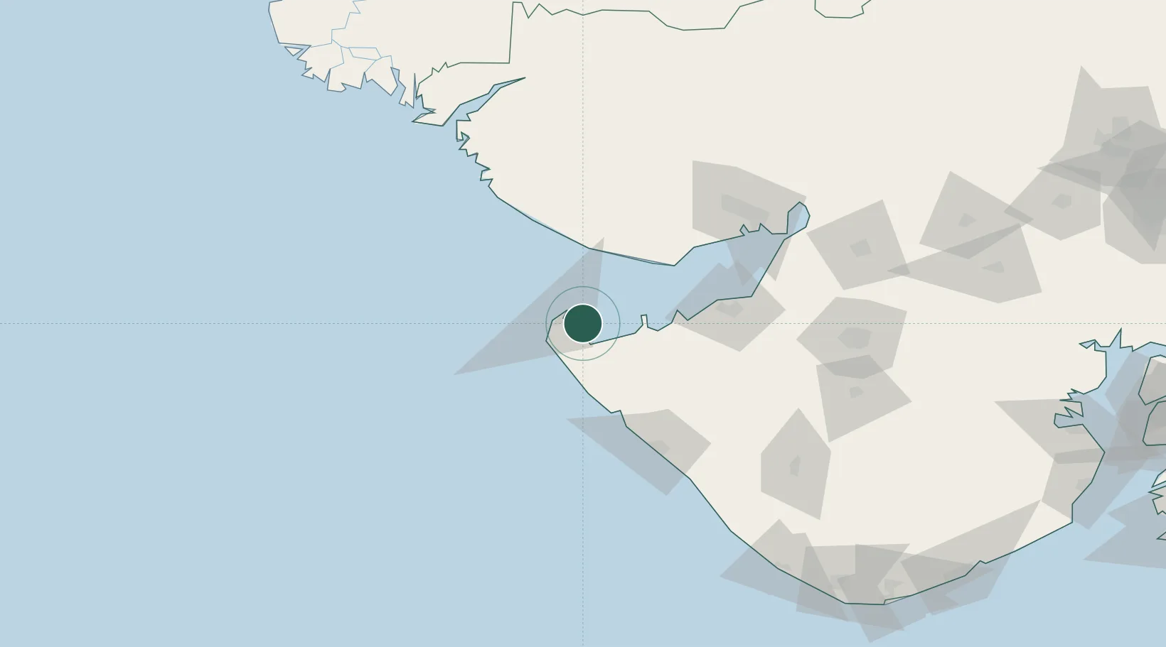
Nearby Logistics Neighbours

Cities
  1. 1Måndvi52 km
  2. 2Mundra Port SEZ66 km
  3. 3Sika69 km
  4. 4Mundra72 km
  5. 5Rozi91 km
Nearest neighbours — logibook spatial index (haversine) over the source coordinates
Ports
  1. 1Okha12 km
  2. 2Mandvi52 km
  3. 3Vadinar Terminal52 km
  4. 4Mundra66 km
  5. 5Sikka69 km
Nearest neighbours — logibook spatial index (haversine) over the source coordinates
Airports
  1. 1Jamnagar Airport87 km
  2. 2Porbandar Airport98 km
  3. 3Bhuj Airport111 km
  4. 4Kandla Airport124 km
  5. 5Keshod Airport166 km
Nearest neighbours — logibook spatial index (haversine) over the source coordinates
Trade Zones
  1. 1Adani Mundra Port67 km
  2. 2Ganesh Infrastructure Pvt. Ltd.75 km
  3. 3Reliance Jamnagar Infrastructure Ltd.91 km
  4. 4Kandla Special Economic Zone121 km
  5. 5Kandla Special Economic Zone122 km
Nearest neighbours — logibook spatial index (haversine) over the source coordinates
DatabookThe Record of Consolidated Knowledge
India beyond logistics?
Browse databook

All Sources

LocationsUN/LOCODE
UN/LOCODE — free
Portsthe NGA World Port Index
Public domain (US gov)
AirportsOurAirports
Public domain
Trade Zonesthe World Bank SEZ database
CC BY 4.0
Trade ZonesOpen Zone Map
CC BY
← India locations