Medium airport · India

Jamnagar AirportVAJM
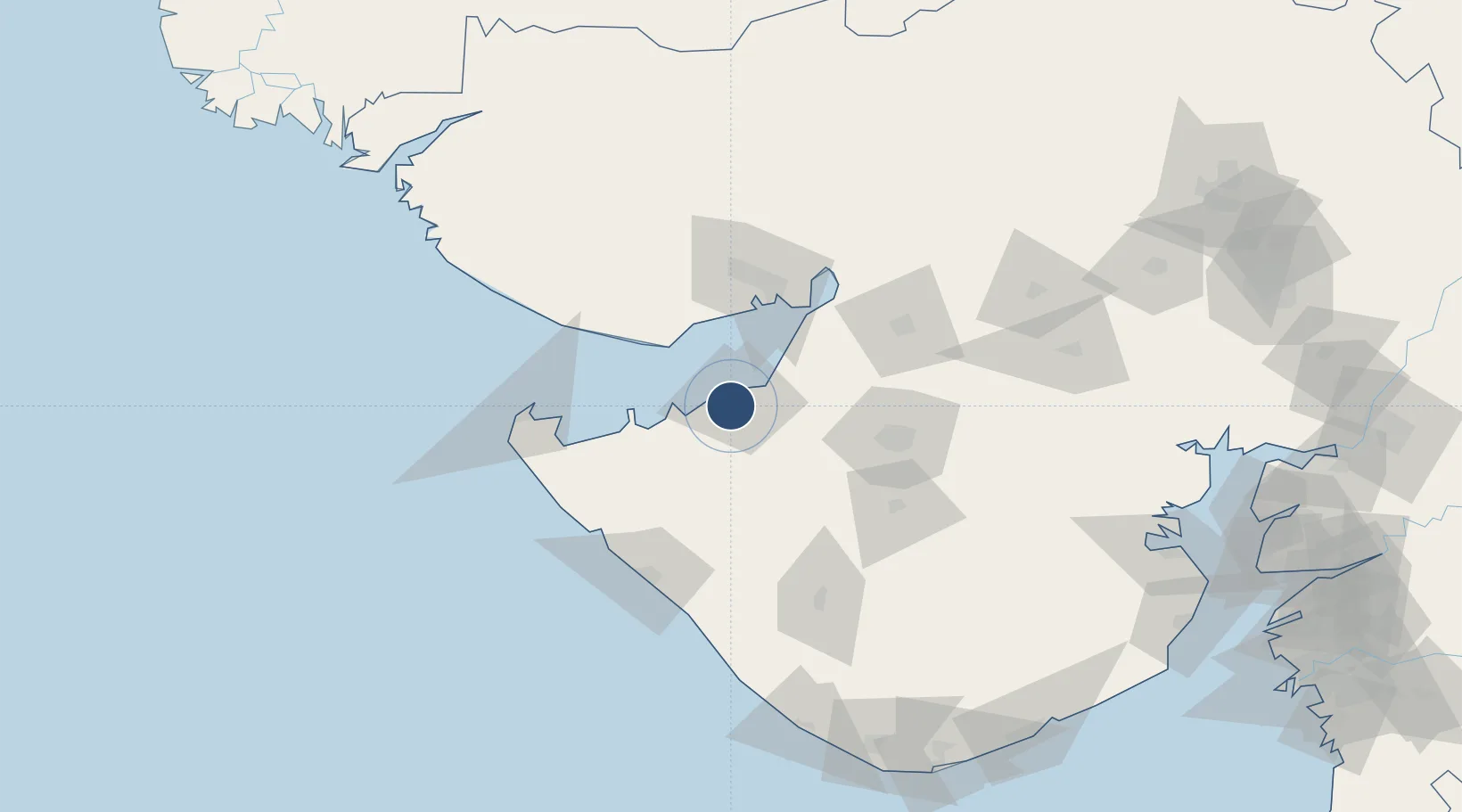
22.4655°, 70.0126°
8,242 ft
Longest runway
2
Runways
69 ft
Elevation

Runway & Layout

Jamnagar Airport runway & taxiway layout
Runway & taxiway layout — OpenStreetMap (ODbL) / OurAirports

Radio Frequencies

TWR
123.5 MHz
OurAirports

Navaids

JMR VOR-DME Jamnagar 115.00 MHz
OurAirports

Runways · 2

RunwayDimensions SurfaceTrue headingLit
06/24 8,242 × 148ft Concrete 061°
12/30 8,236 × 148ft Asphalt 116°
OurAirports

Airport Specifications

IATA code
JGA
OurAirports
ICAO code
VAJM
OurAirports
Airport class
Medium airport
OurAirports
Scheduled service
Yes
OurAirports
Runway surface
Concrete
OurAirports
Served city
Jamnagar
OurAirports

Location

Location of VAJM
Natural Earth 10m (public domain) · Gujarat · VAJM · 22.47, 70.01GoogleOSMYandex

Nearby Logistics Neighbours

Airports
  1. 1Kandla Airport73 km
  2. 2Rajkot Airport81 km
  3. 3Porbandar Airport98 km
  4. 4Bhuj Airport98 km
  5. 5Rajkot International Airport106 km
Nearest neighbours — logibook spatial index (haversine) over the source coordinates
Cities
  1. 1Reliance SEZ/Jamnagar6 km
  2. 2Rozi11 km
  3. 3Sika19 km
  4. 4Mundra Port SEZ46 km
  5. 5Mundra50 km
Nearest neighbours — logibook spatial index (haversine) over the source coordinates
Ports
  1. 1Bedi12 km
  2. 2Sikka19 km
  3. 3Vadinar Terminal36 km
  4. 4Mundra43 km
  5. 5Kandla67 km
Nearest neighbours — logibook spatial index (haversine) over the source coordinates
Trade Zones
  1. 1Reliance Jamnagar Infrastructure Ltd.4 km
  2. 2Adani Mundra Port45 km
  3. 3Ganesh Infrastructure Pvt. Ltd.51 km
  4. 4Kandla Special Economic Zone64 km
  5. 5Kandla Special Economic Zone64 km
Nearest neighbours — logibook spatial index (haversine) over the source coordinates
DatabookThe Record of Consolidated Knowledge
India beyond logistics?
Browse databook

All Sources

AirportsOurAirports
Public domain
Portsthe NGA World Port Index
Public domain (US gov)
LocationsUN/LOCODE
UN/LOCODE — free
Trade Zonesthe World Bank SEZ database
CC BY 4.0
Trade ZonesOpen Zone Map
CC BY
InfrastructureOpenStreetMap
ODbL 1.0
← India airports