Channel & Berth Profile
Pilotage, Tugs & Services
Pilotage compulsoryYES
Pilotage availableYES
Pilotage advisableYES
Tug assistanceYES
Potable waterYES
MedicalYES
Facilities & Capabilities
Container—
Ro-Ro—
Liquid bulk—
Dry bulk—
Oil terminal—
Break bulkYES
Dry dock—
RepairsNO
BunkeringYES
Rail linkYES
Dangerous cargo—
ISPS security—
Harbour Specifications
Harbour size
Very Small
Harbour type
Coastal (Natural)
Shelter
Good
Water body
Arabian Sea; Indian Ocean
Tidal range
3 m
Overhead limit
No
Pilotage
Yes
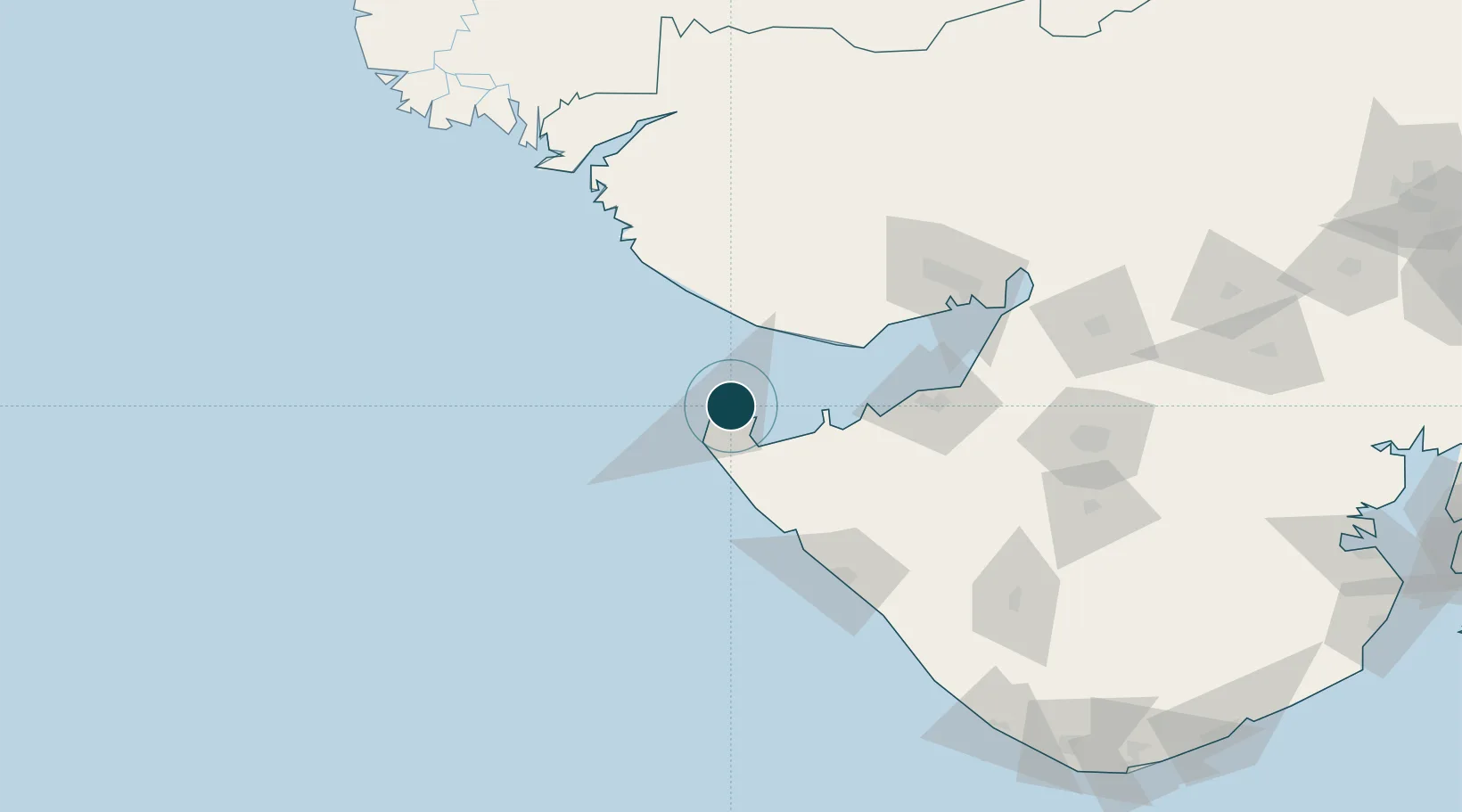
Location
Nearby Logistics Neighbours
Ports
- 1Mandvi49 km
- 2Vadinar Terminal60 km
- 3Mundra71 km
- 4Sikka78 km
- 5Bedi100 km
Cities
- 1Positra12 km
- 2Måndvi50 km
- 3Mundra Port SEZ70 km
- 4Mundra75 km
- 5Sika78 km
Airports
- 1Jamnagar Airport96 km
- 2Porbandar Airport109 km
- 3Bhuj Airport109 km
- 4Kandla Airport127 km
- 5Rajkot Airport176 km
Trade Zones
DatabookThe Record of Consolidated Knowledge
India beyond logistics?