Transport Functions
Port
Multimodal
Hub Profile
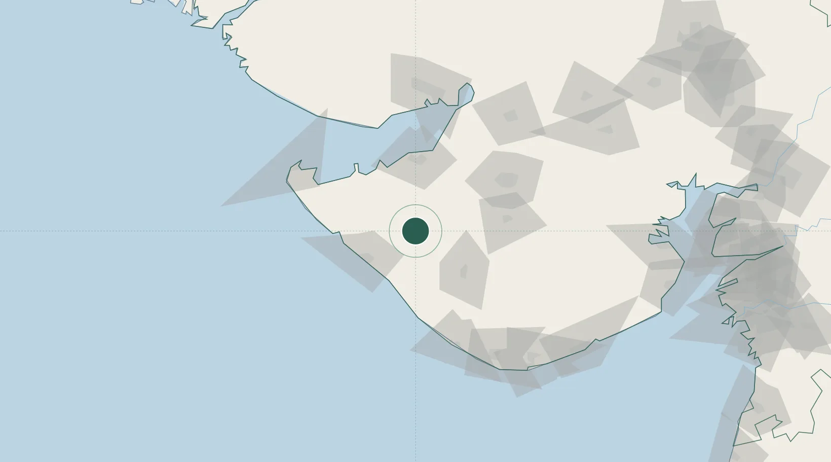
Place type
Populated place
Region
Gujarat
Population
47,329
Time zone
Asia/Kolkata
Elevation
99 m
Location
Nearby Logistics Neighbours
Cities
- 1Junagadh61 km
- 2Sika65 km
- 3Reliance SEZ/Jamnagar65 km
- 4Rozi76 km
- 5Rajkot89 km
Ports
- 1Porbandar53 km
- 2Sikka65 km
- 3Vadinar Terminal75 km
- 4Bedi77 km
- 5Mundra100 km
Airports
- 1Porbandar Airport47 km
- 2Jamnagar Airport65 km
- 3Keshod Airport68 km
- 4Rajkot Airport90 km
- 5Rajkot International Airport117 km
Trade Zones
DatabookThe Record of Consolidated Knowledge
India beyond logistics?