Transport Functions
Multimodal
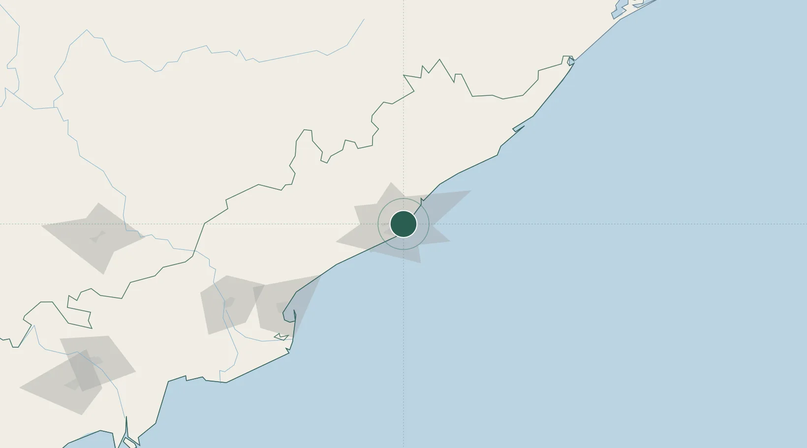
Hub Profile
Region
AP
Location
Nearby Logistics Neighbours
Cities
Ports
- 1Gangavaram9 km
- 2Kakinada Bay130 km
- 3Gopalpur250 km
- 4Paradip456 km
- 5Kattupalli Port512 km
Airports
- 1Visakhapatnam International Airport8 km
- 2Rajahmundry Airport171 km
- 3Jagdalpur Airport203 km
- 4Utkela Airport267 km
- 5Vijayawada International Airport295 km
Trade Zones
DatabookThe Record of Consolidated Knowledge
India beyond logistics?