Specialized Zone · India
CMC Limited Active
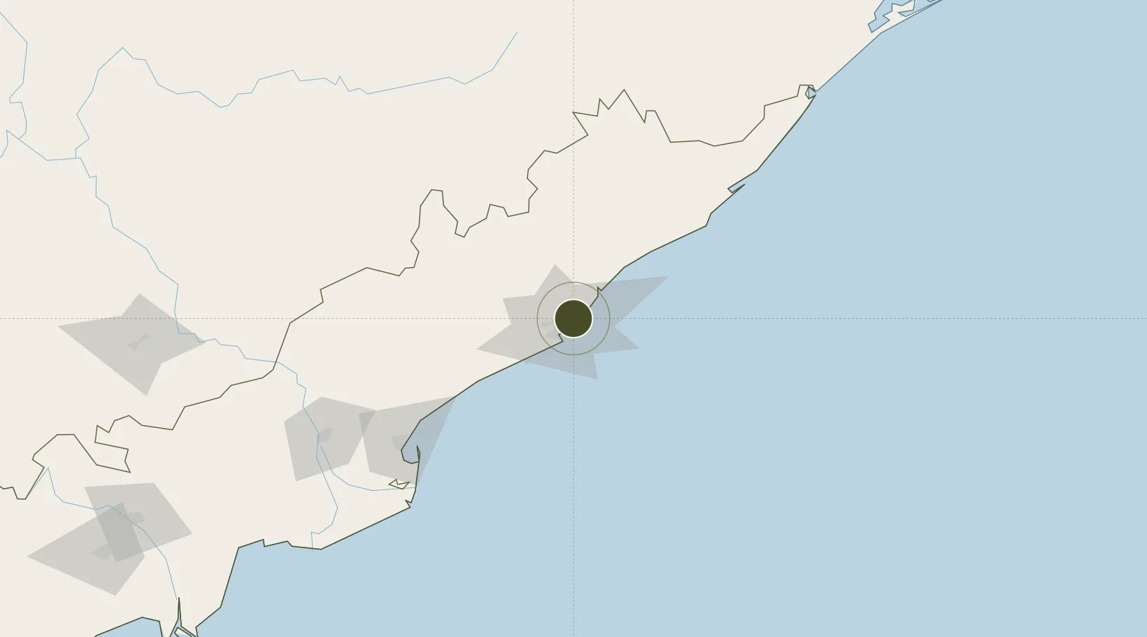
17.7322°, 83.3039°
21 ha
Zone area
5.4 km
Nearest port
8.1 km
Nearest airport
Gateway access
Zone profile
Zone type
Specialized Zone
Specialization
IT
Region
Andhra Pradesh
Status
Active
Management
Private
Operator
CMC Limited
Legal framework
LoA 9/103/SEZ/HYD/2010 dated 12.01.2011
Location
Nearby Logistics Neighbours
Ports
- 1Vishakhapatnam5 km
- 2Gangavaram12 km
- 3Kakinada Bay133 km
- 4Gopalpur247 km
- 5Paradip454 km
Airports
- 1Visakhapatnam International Airport8 km
- 2Rajahmundry Airport173 km
- 3Jagdalpur Airport200 km
- 4Utkela Airport263 km
- 5Vijayawada International Airport297 km
Cities
DatabookThe Record of Consolidated Knowledge
India beyond logistics?