Diversified Zone · India

M S. Apiic Ltd., Naidupeta Active
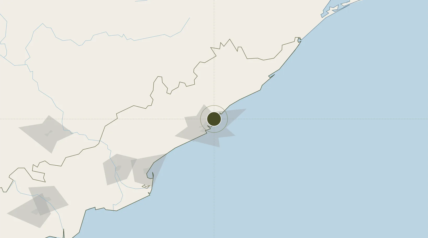
17.8239°, 83.3564°
660 ha
Zone area
16.7 km
Nearest port
17.6 km
Nearest airport

Gateway access

Nearest neighbours — logibook spatial index (haversine) over the source coordinates

Zone profile

Zone type
Diversified Zone
Open Zone Map
Region
Andhra Pradesh
Open Zone Map
Status
Active
Open Zone Map
Management
Public-Private Partnership
Open Zone Map
Operator
Andhra Pradesh Industrial Infrastructure Corporation Ltd.
Open Zone Map
Legal framework
Andhra Pradesh Bill No. 51 of 2005
Open Zone Map

Location

Location of ozm-2119
Natural Earth 10m (public domain) · Andhra Pradesh · ozm-2119 · 17.82, 83.36GoogleOSMYandex

Nearby Logistics Neighbours

Ports
  1. 1Vishakhapatnam17 km
  2. 2Gangavaram24 km
  3. 3Kakinada Bay143 km
  4. 4Gopalpur236 km
  5. 5Paradip443 km
Nearest neighbours — logibook spatial index (haversine) over the source coordinates
Airports
  1. 1Visakhapatnam International Airport18 km
  2. 2Rajahmundry Airport182 km
  3. 3Jagdalpur Airport197 km
  4. 4Utkela Airport254 km
  5. 5Vijayawada International Airport307 km
Nearest neighbours — logibook spatial index (haversine) over the source coordinates
Cities
  1. 1Wipro Sez/Resapuvanipalem11 km
  2. 2BIACPL SEZ/Visakhapatnam15 km
  3. 3APIICL SEZ/Visakhapatnam15 km
  4. 4RPCIPL SEZ/Visakhapatnam15 km
  5. 5Aal-SEZ/Vishakhapatnam15 km
Nearest neighbours — logibook spatial index (haversine) over the source coordinates
Trade Zones
  1. 1Apiic Ltd. (Specialized Zone (IT)) Madhurwada, Hill No. 34 km
  2. 2Apiic, Madhurwada, Hill No. 24 km
  3. 3CMC Limited12 km
  4. 4Divi’s Laboratories Limited18 km
  5. 5Visakhapatnam Special Economic Zone25 km
Nearest neighbours — logibook spatial index (haversine) over the source coordinates
DatabookThe Record of Consolidated Knowledge
India beyond logistics?
Browse databook

All Sources

Trade ZonesOpen Zone Map
CC BY
Portsthe NGA World Port Index
Public domain (US gov)
AirportsOurAirports
Public domain
LocationsUN/LOCODE
UN/LOCODE — free
← India trade zones