UN/LOCODE hub · Israel
ILASM

Ashdod Granaries

31.8167°, 34.6500°
1
Transport functions

Transport Functions

Multimodal
UN/LOCODE

Hub Profile

Region
D
GeoNames

Location

Location of ILASM
Natural Earth 10m (public domain) · D · ILASM · 31.82, 34.65GoogleOSMYandex

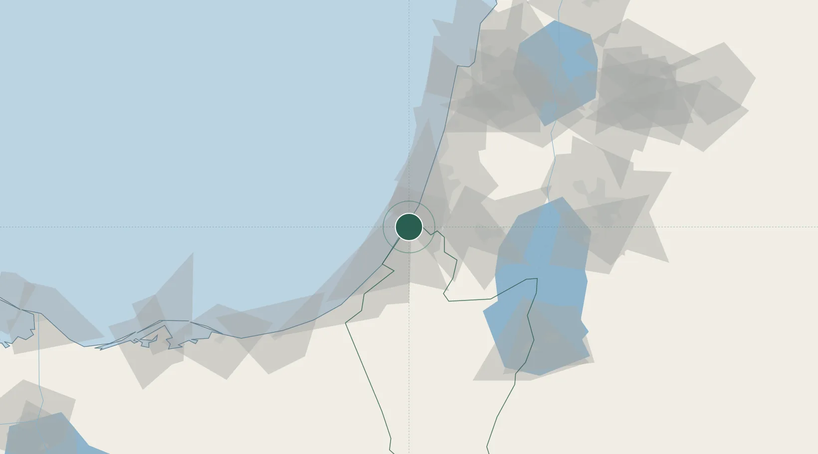
Nearby Logistics Neighbours

Cities
  1. 1Ashdod Bonded Air0 km
  2. 2Ashdod Fridenson0 km
  3. 3Ashdod Southport0 km
  4. 4Ashdod Bonded0 km
  5. 5Ashdod Conterm0 km
Nearest neighbours — logibook spatial index (haversine) over the source coordinates
Ports
  1. 1Ashdod0 km
  2. 2Ashqelon22 km
  3. 3Hadera76 km
  4. 4Al Arish107 km
  5. 5Haifa116 km
Nearest neighbours — logibook spatial index (haversine) over the source coordinates
Airports
  1. 1Tel Nof Air Base16 km
  2. 2Ben Gurion International Airport31 km
  3. 3Nevatim Air Base76 km
  4. 4Bar Yehuda Airfield89 km
  5. 5El Jora Airport95 km
Nearest neighbours — logibook spatial index (haversine) over the source coordinates
Trade Zones
  1. 1Gaza Industrial Estate (GIE)41 km
  2. 2Bethlehem Industrial Estate -BIE53 km
  3. 3Jericho Argo- Industrial Park (JAIP)75 km
  4. 4Al-Karama Free Zone88 km
  5. 5Jenin Industrial Free Zone (JIFZ)93 km
Nearest neighbours — logibook spatial index (haversine) over the source coordinates
DatabookThe Record of Consolidated Knowledge
Israel beyond logistics?
Browse databook

All Sources

LocationsUN/LOCODE
UN/LOCODE — free
Portsthe NGA World Port Index
Public domain (US gov)
AirportsOurAirports
Public domain
Trade Zonesthe World Bank SEZ database
CC BY 4.0
Trade ZonesOpen Zone Map
CC BY
← Israel locations